
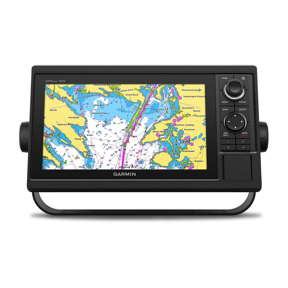
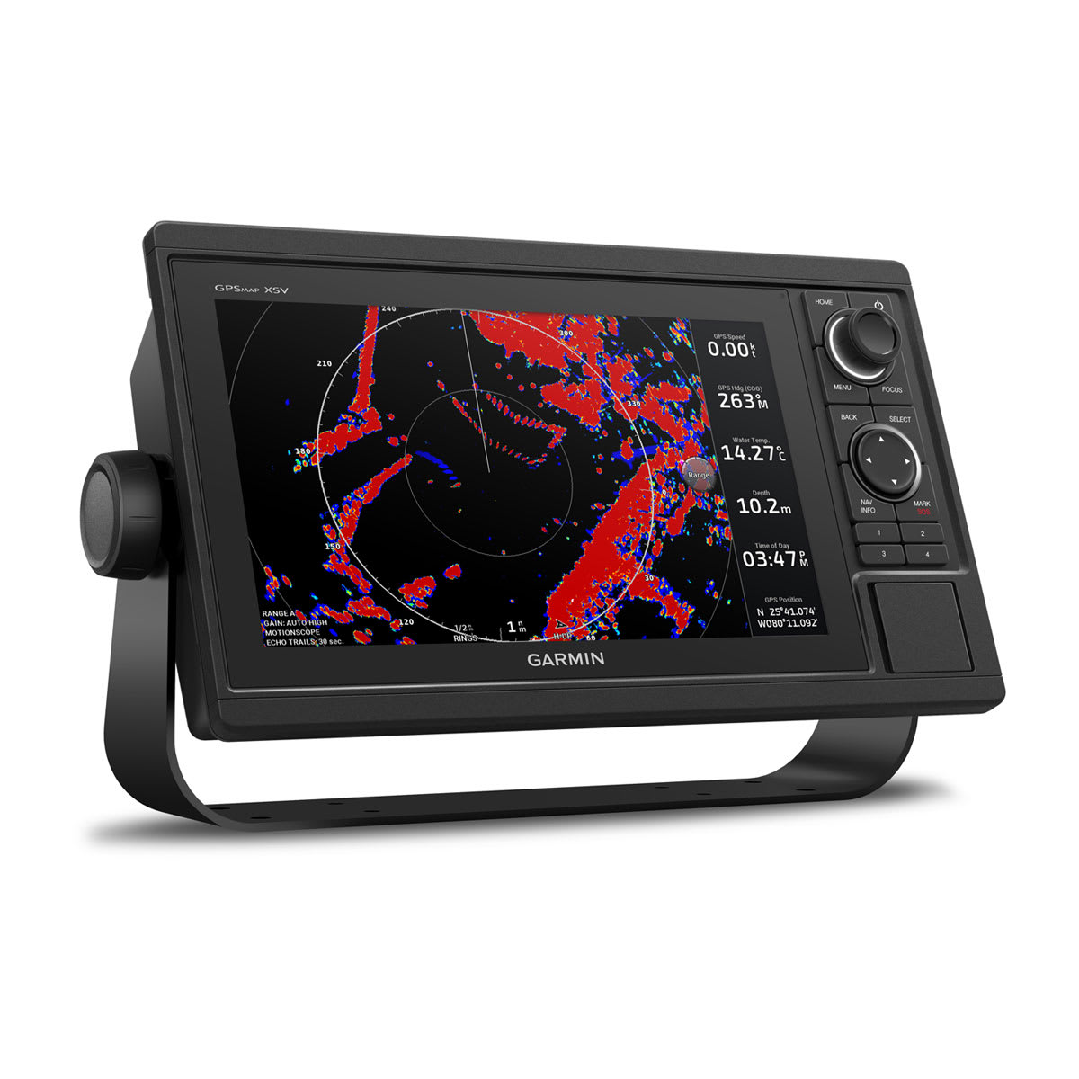

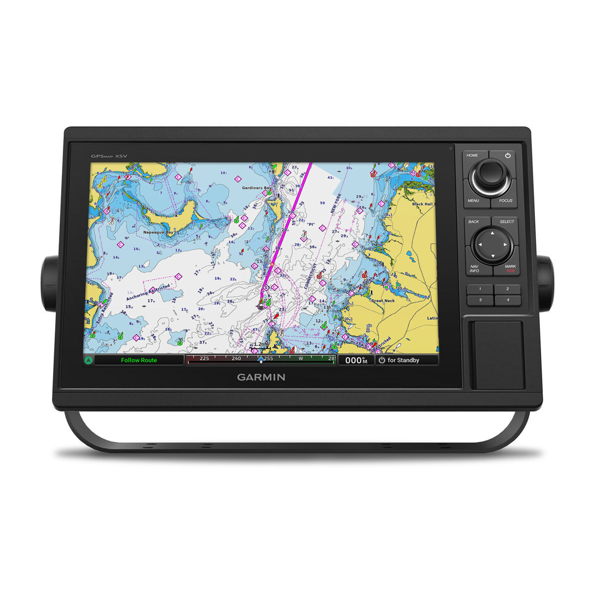
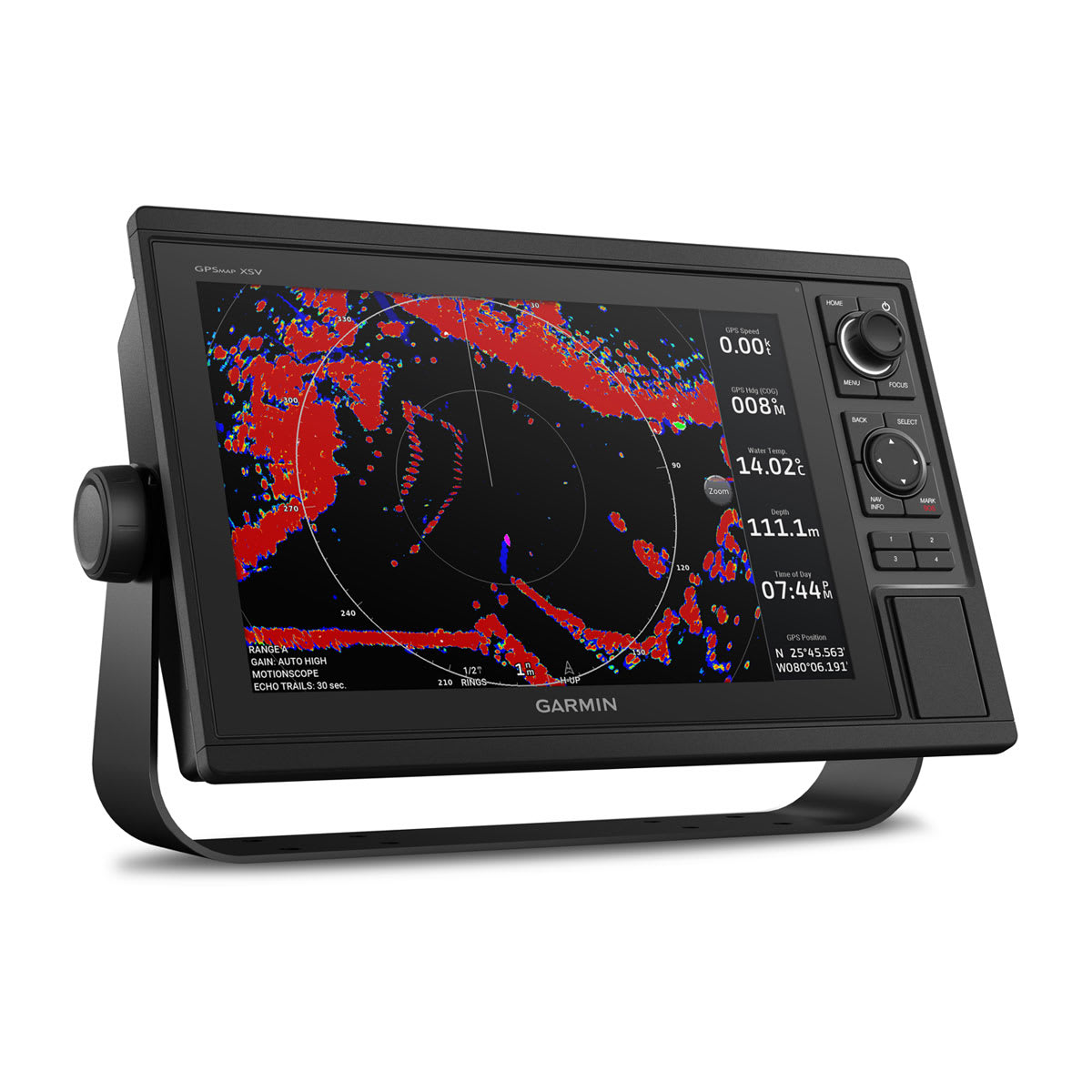
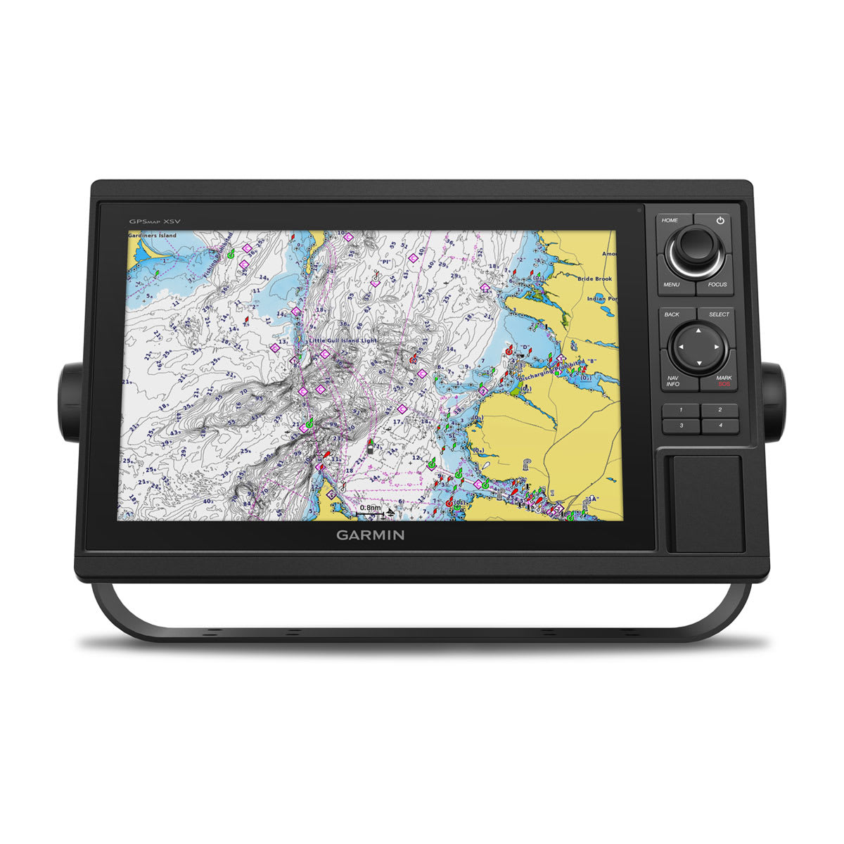

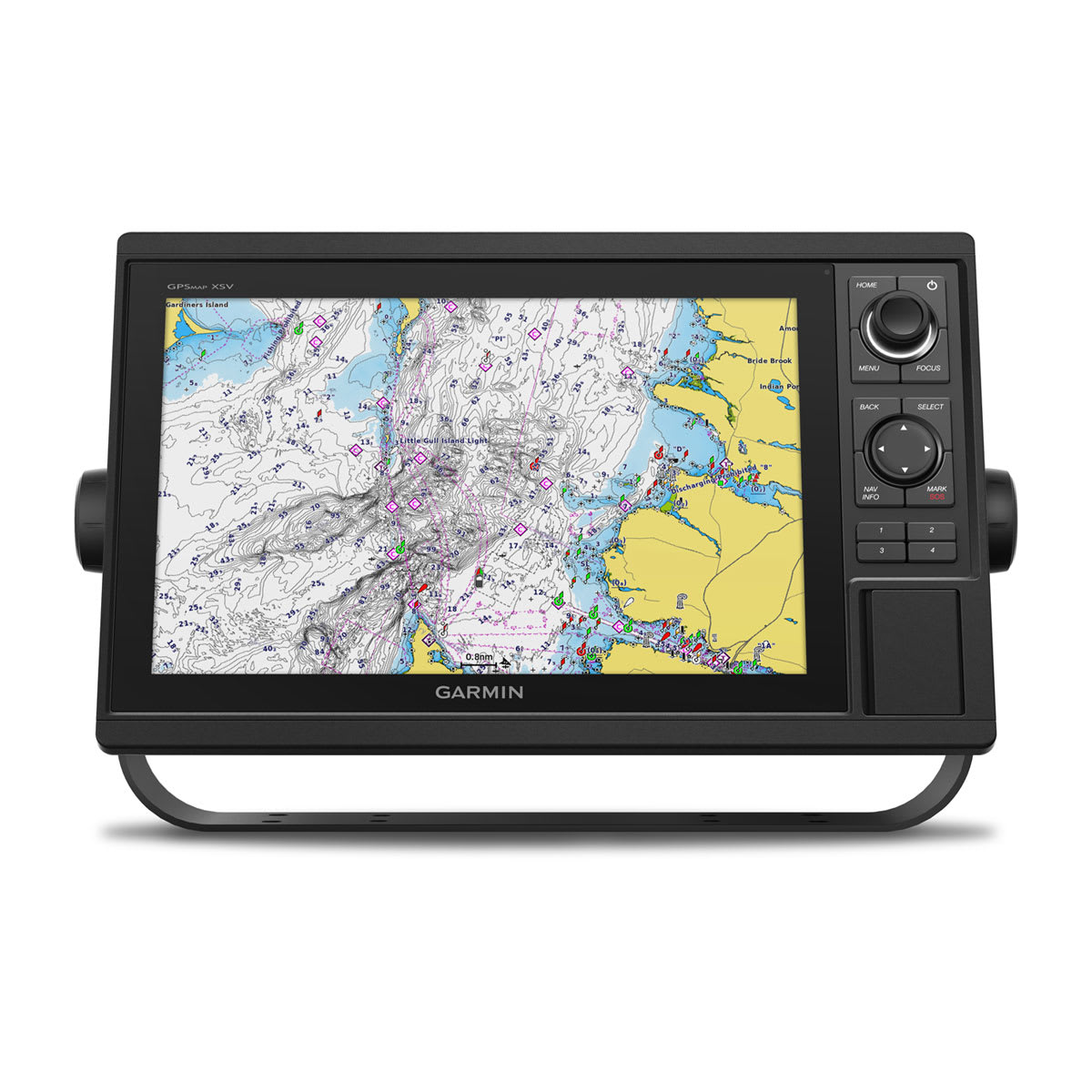
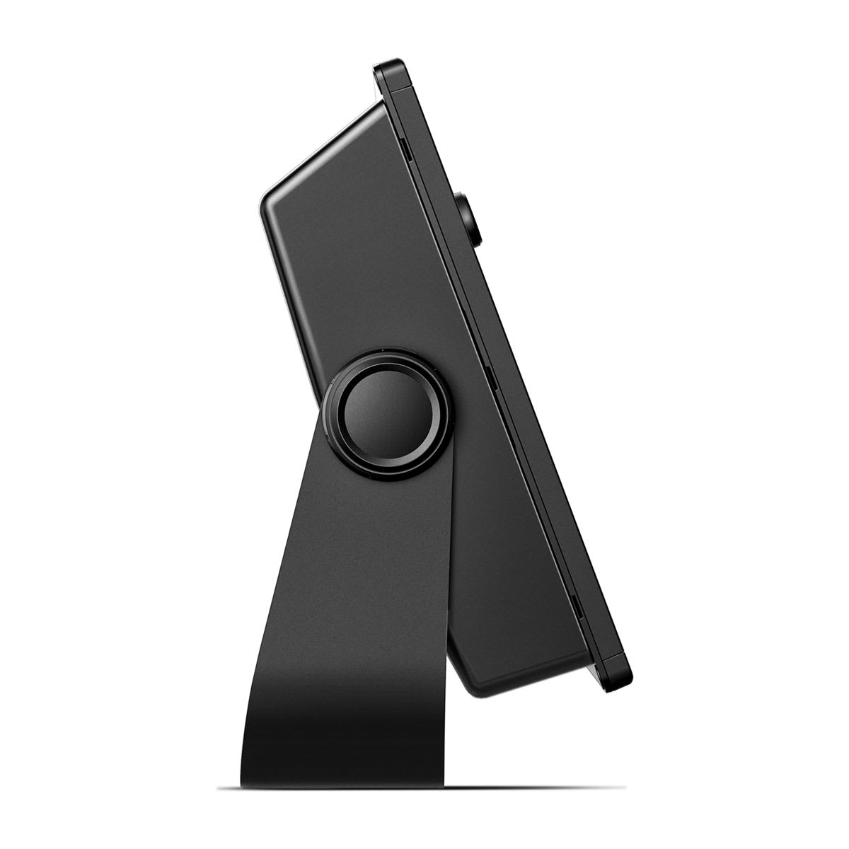

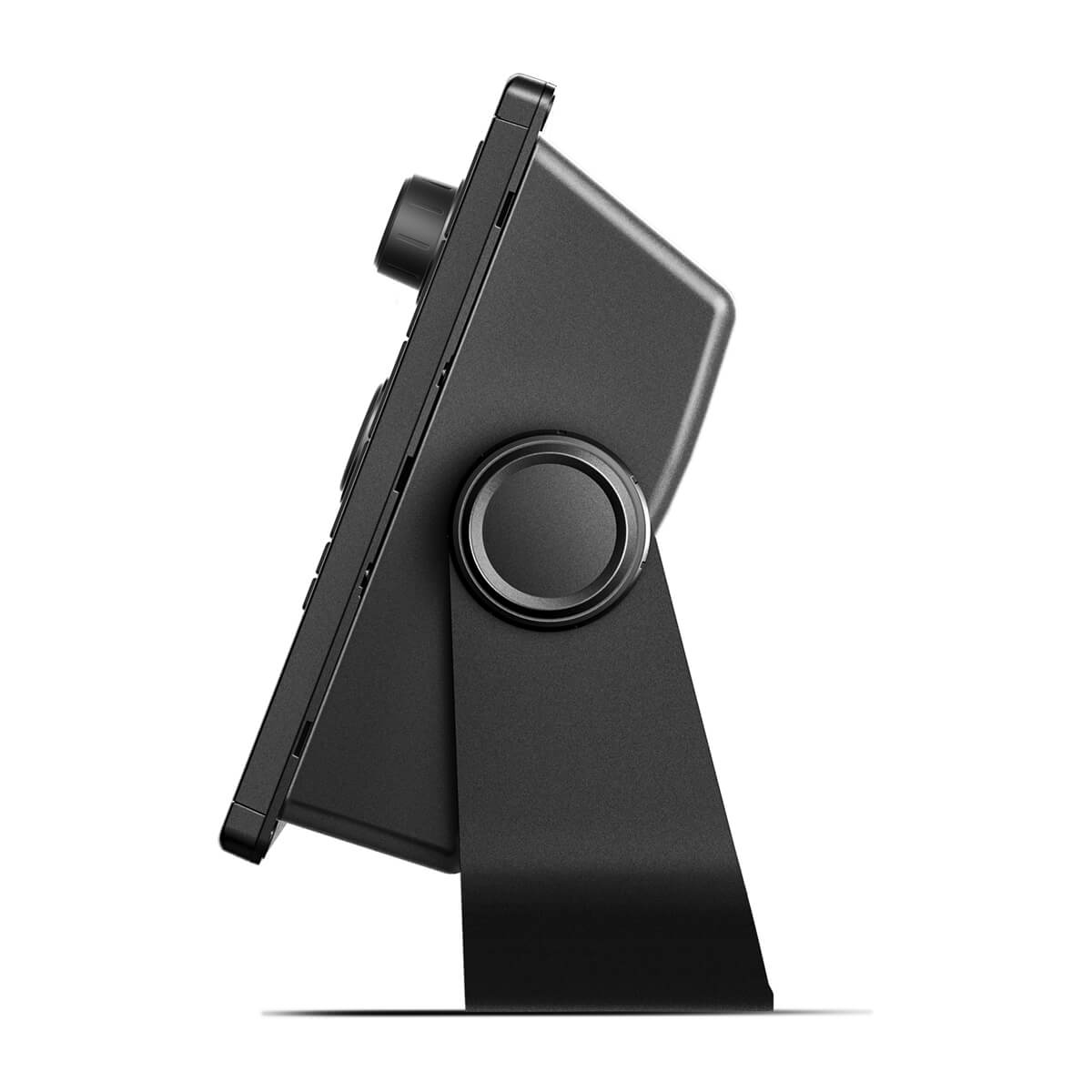

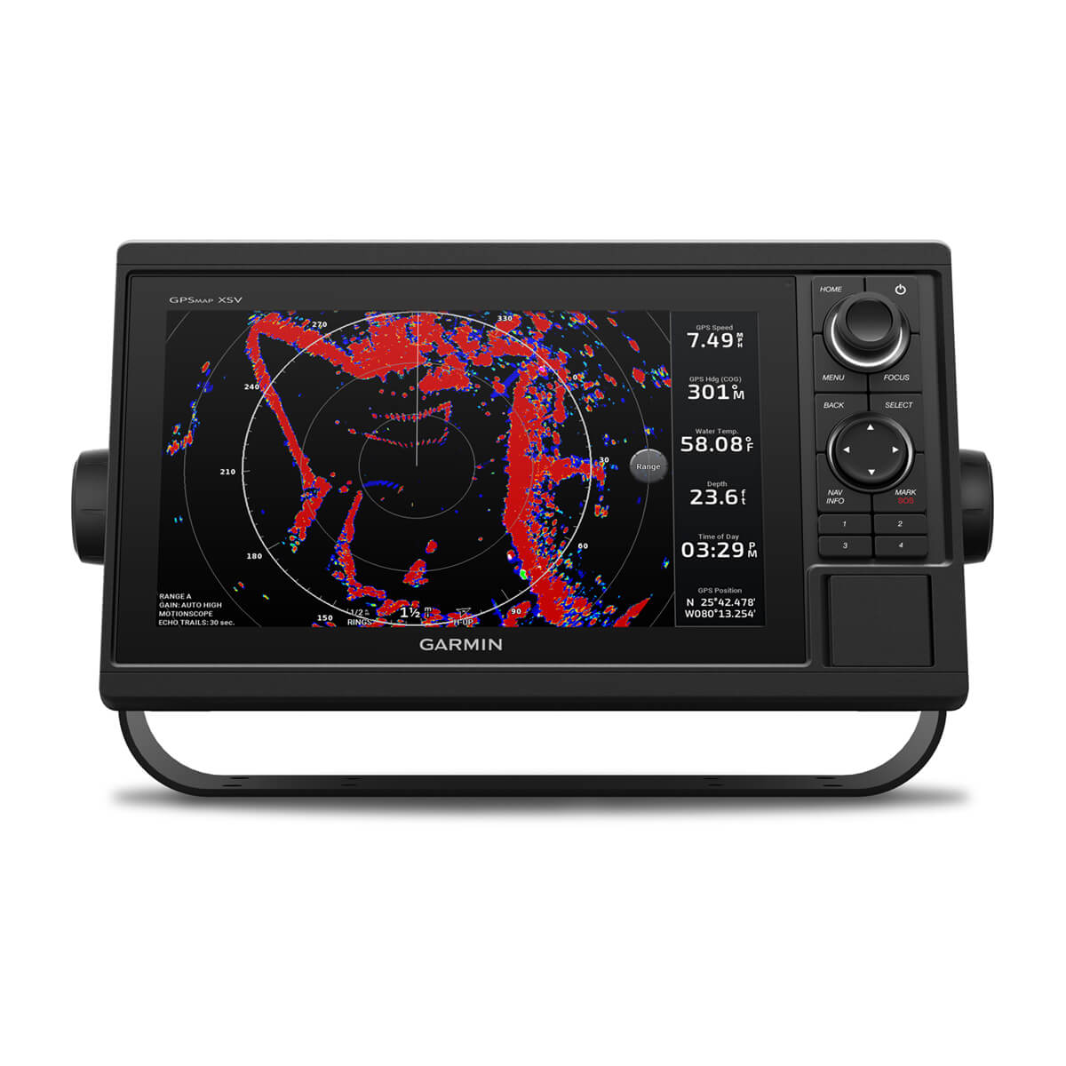
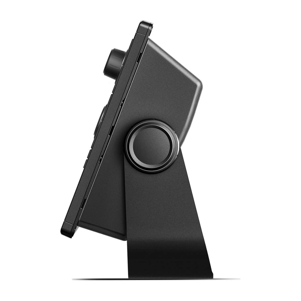
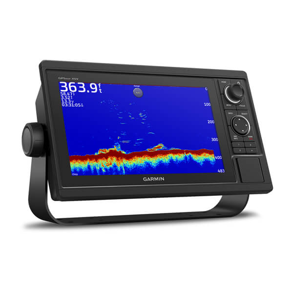


A PREMIUM CHARTPLOTTER FOR THE ADVENTUROUS SPIRIT
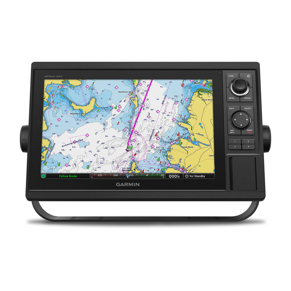
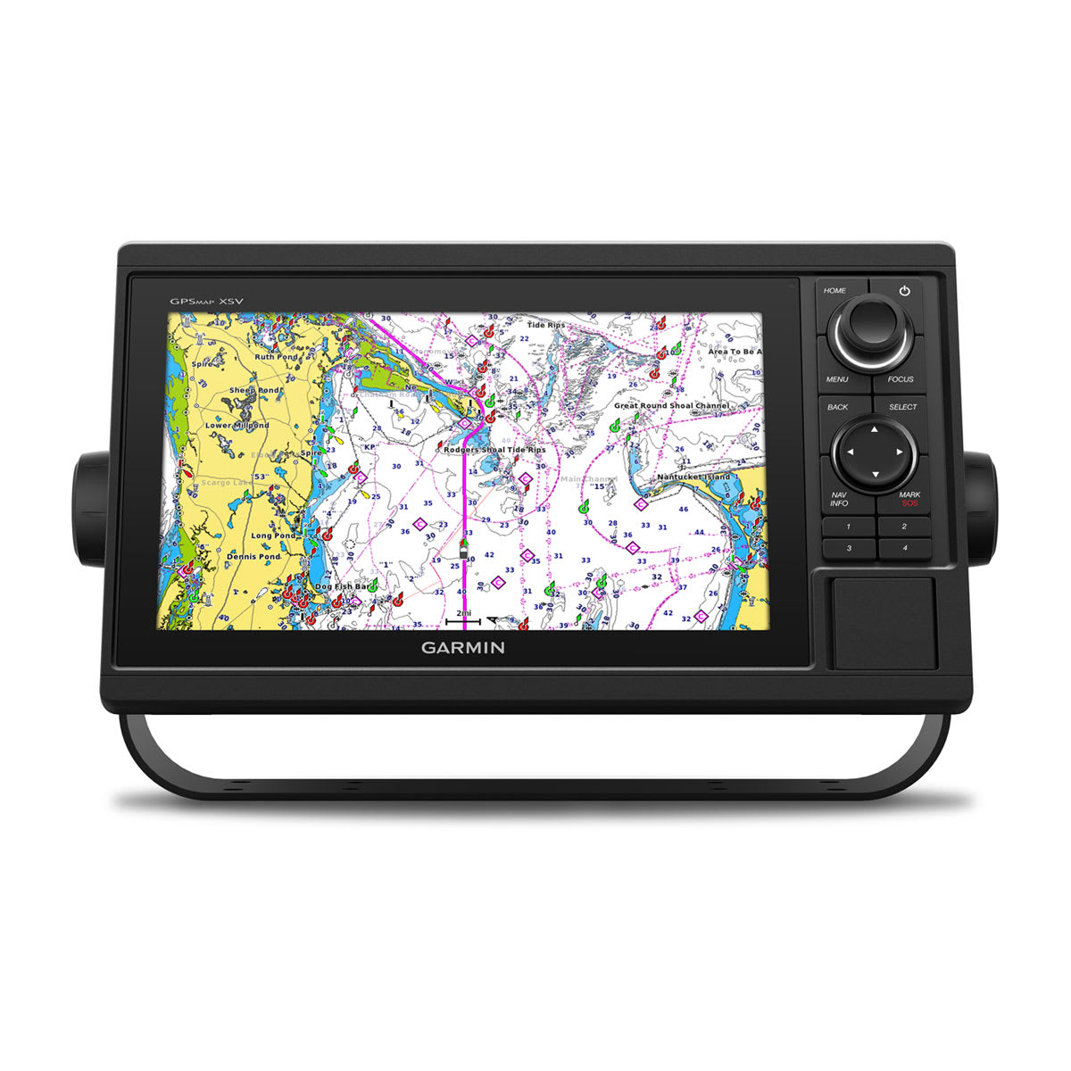
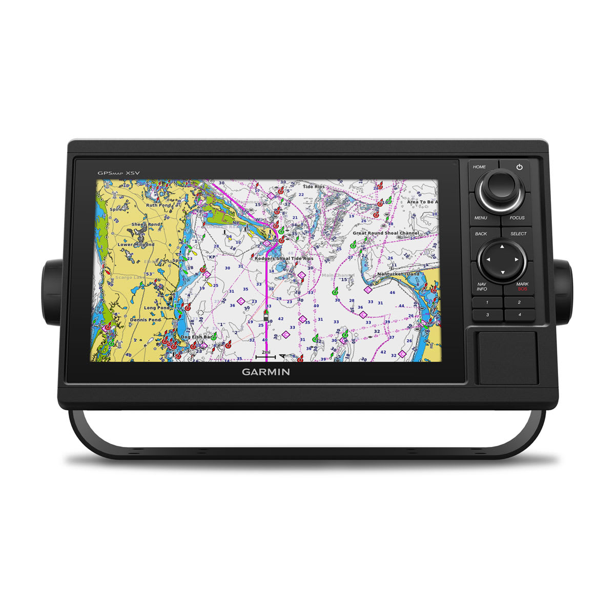
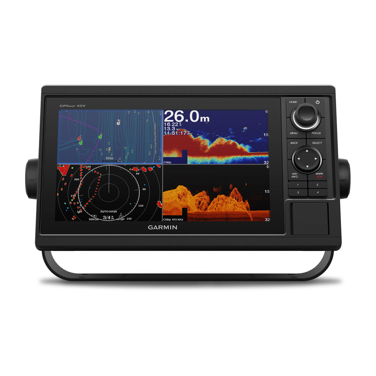
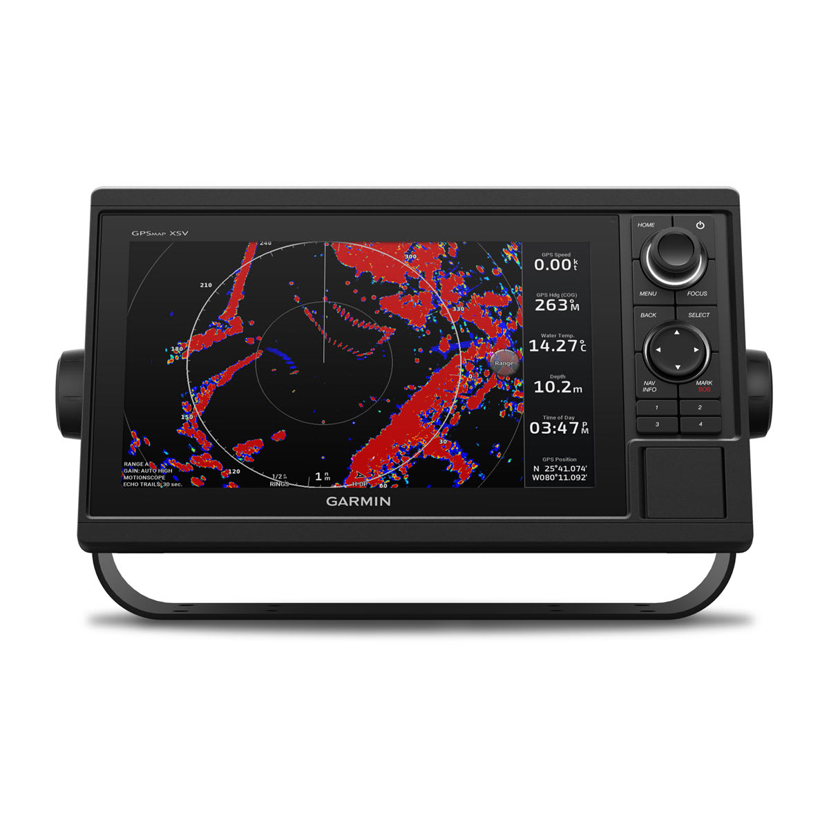
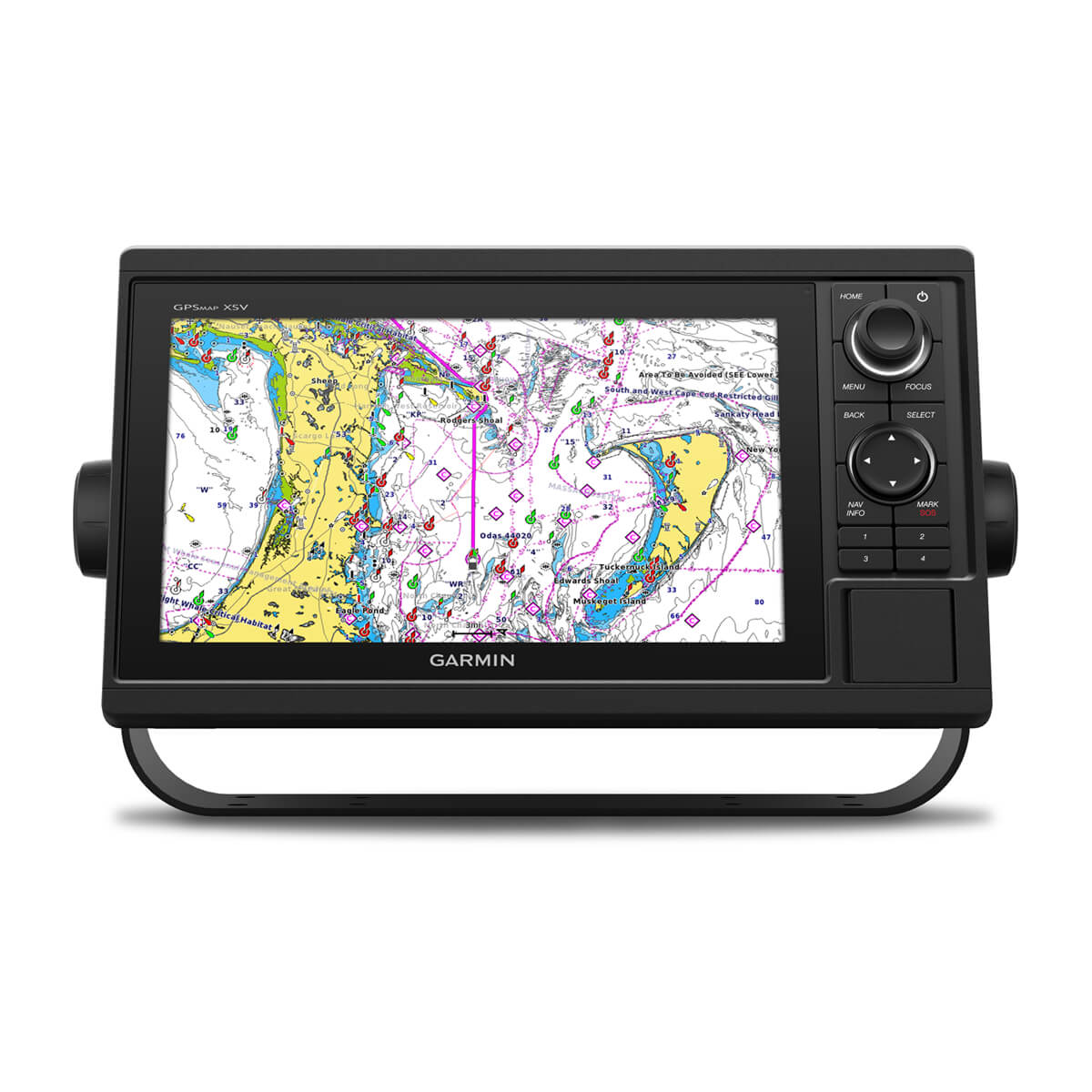
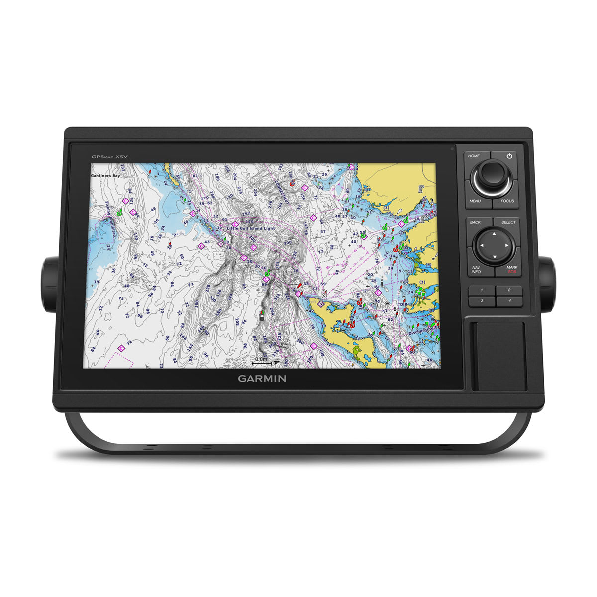
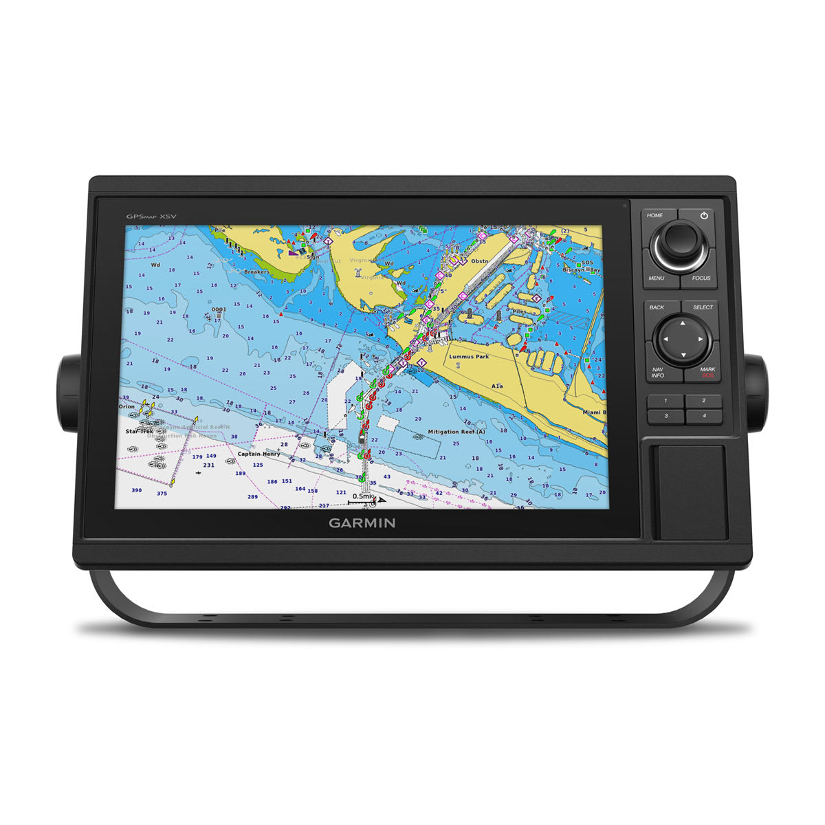
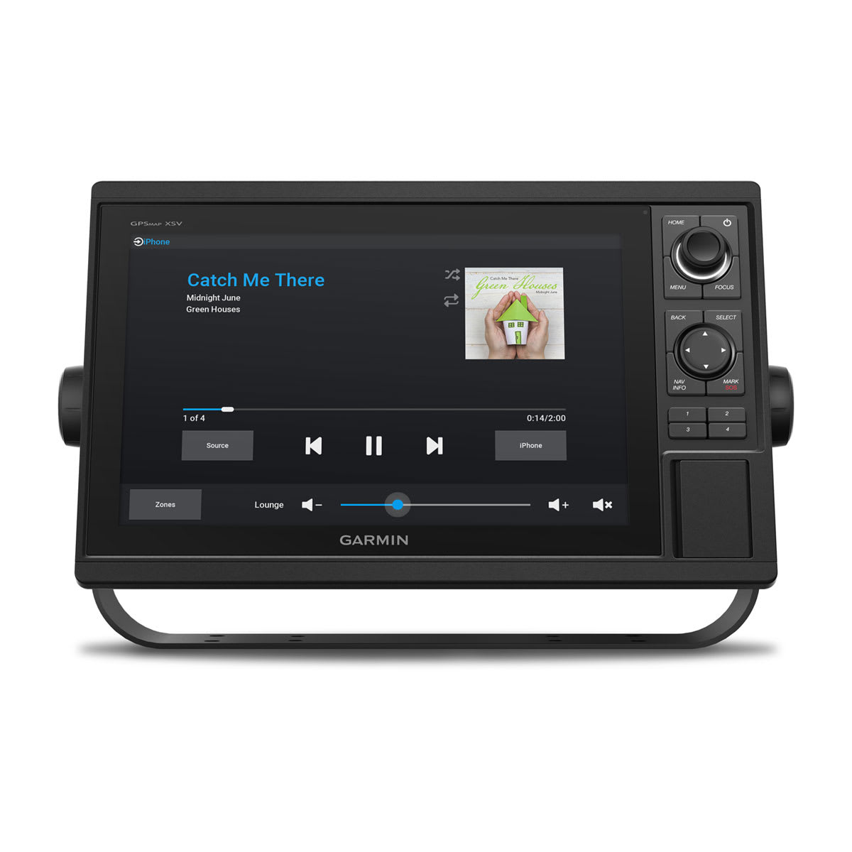
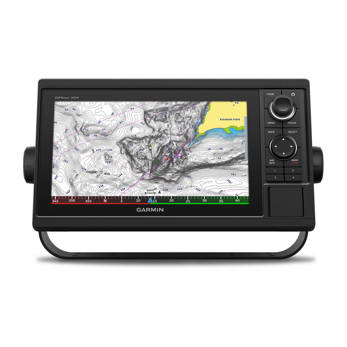
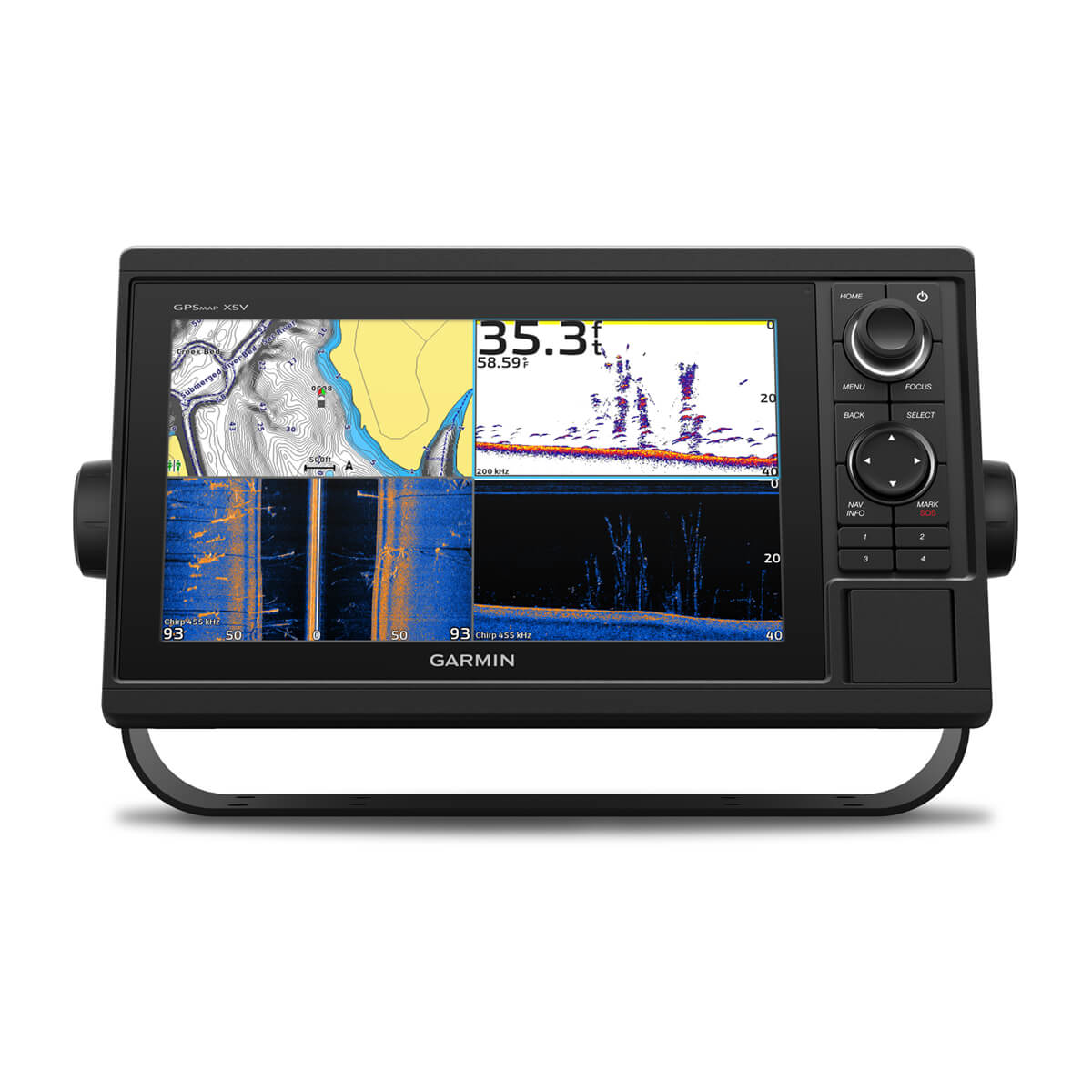
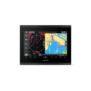
These chartplotters feature large, bright screens coupled with quick and easy-to-use keypad interfaces with user-programmable keys and multifunction control knobs to help you navigate with ease.

Get wider viewing angles on a vivid 10” or 12” color display.

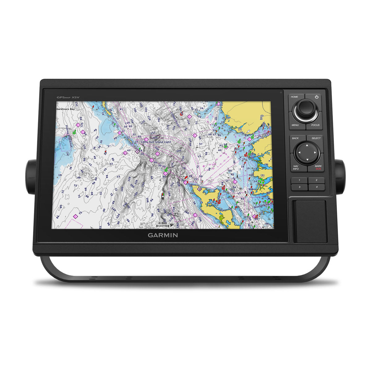
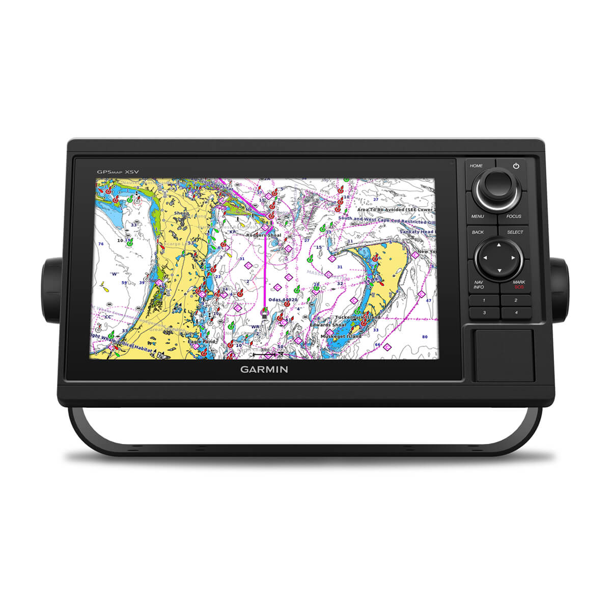
These are compatible with our premium maps and charts for the best in Garmin navigation.

Share information among multiple units, thanks to Garmin Marine Network support.

See fluid position and heading changes with update rates of 10 times per second.

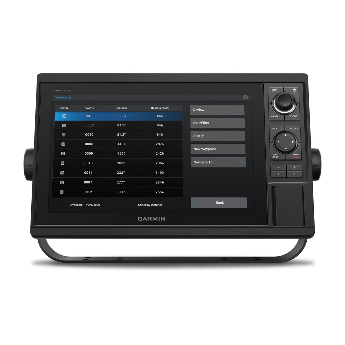
Easily transfer waypoints, tracks and routes from your other GPS devices.

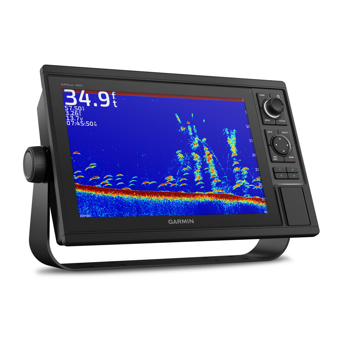
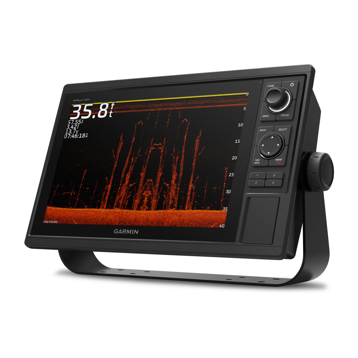
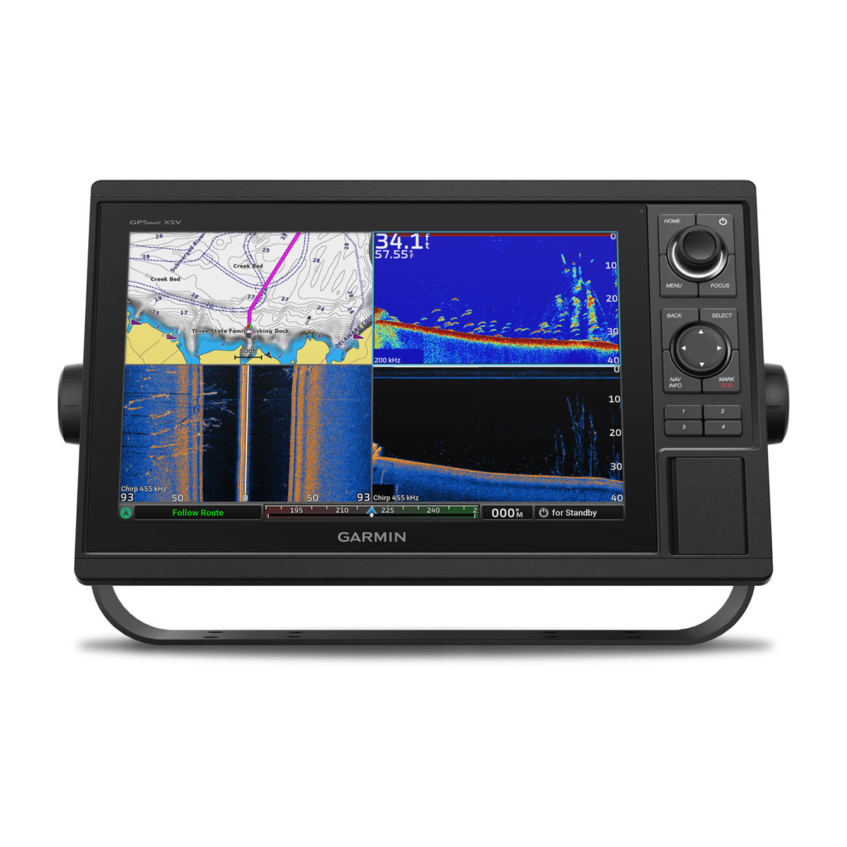
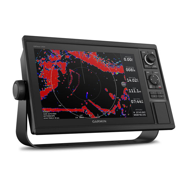
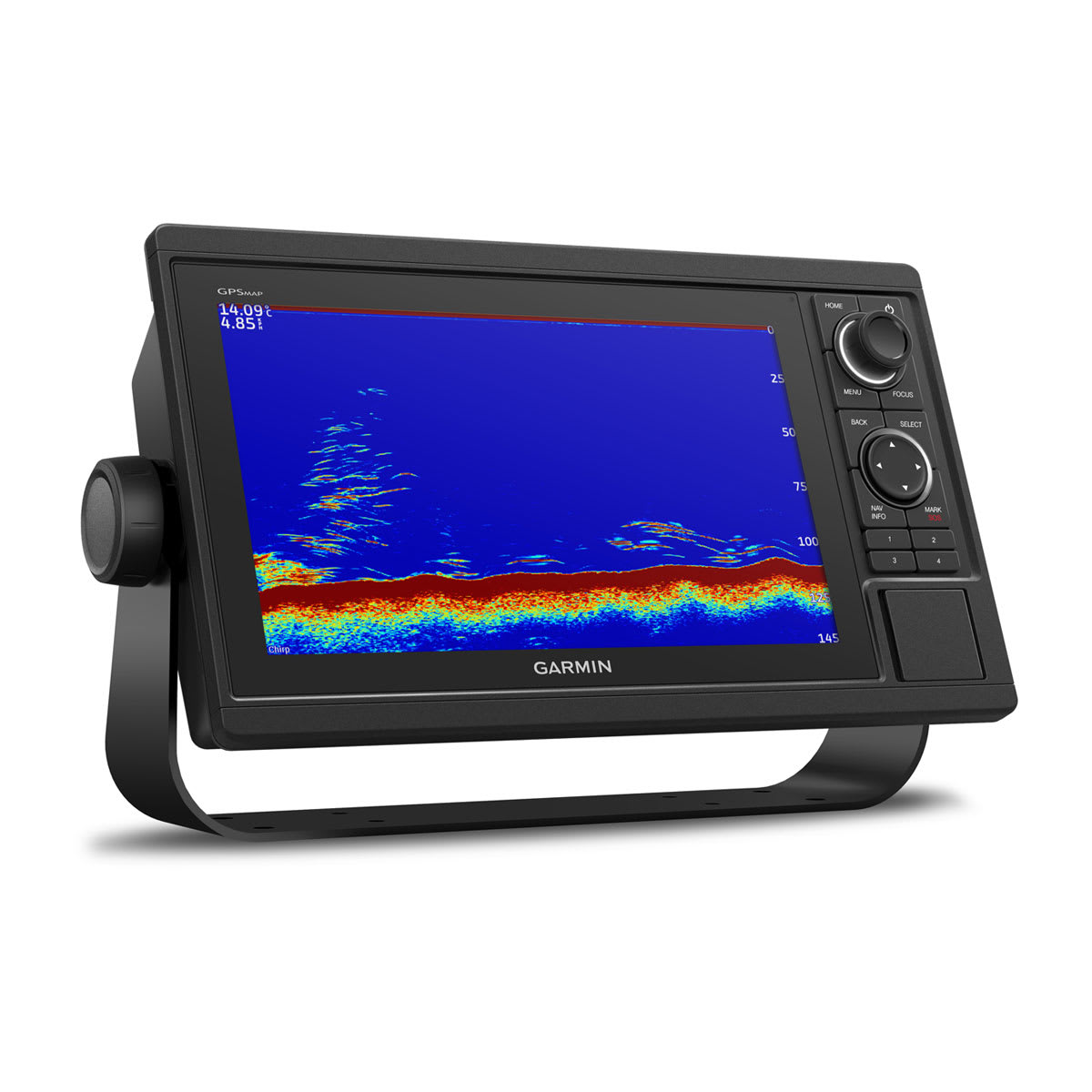
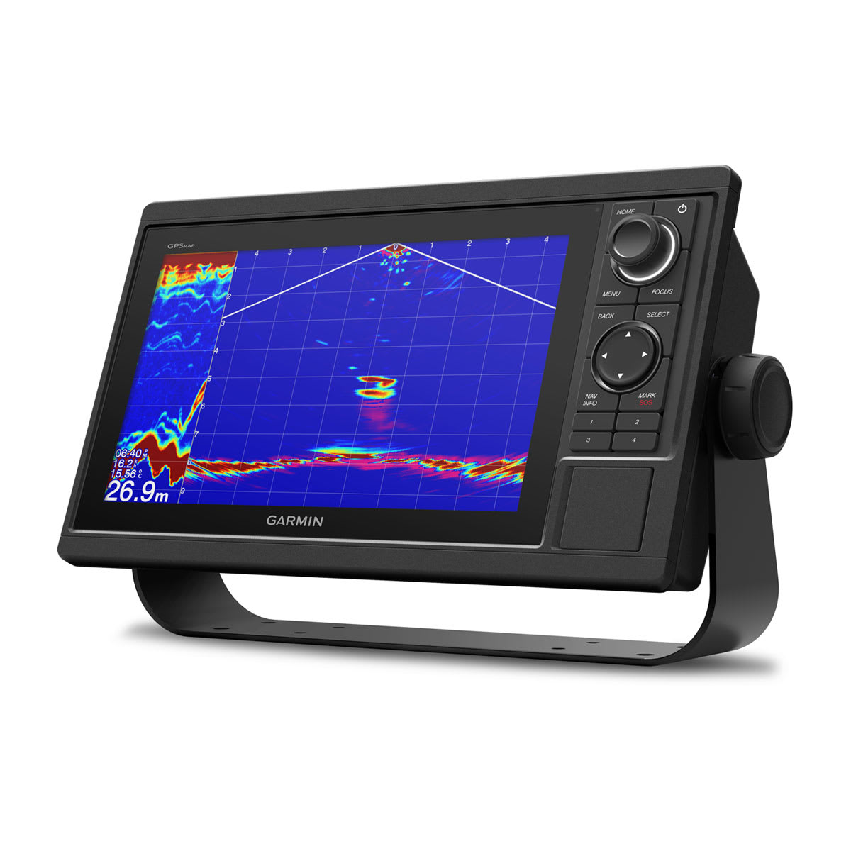
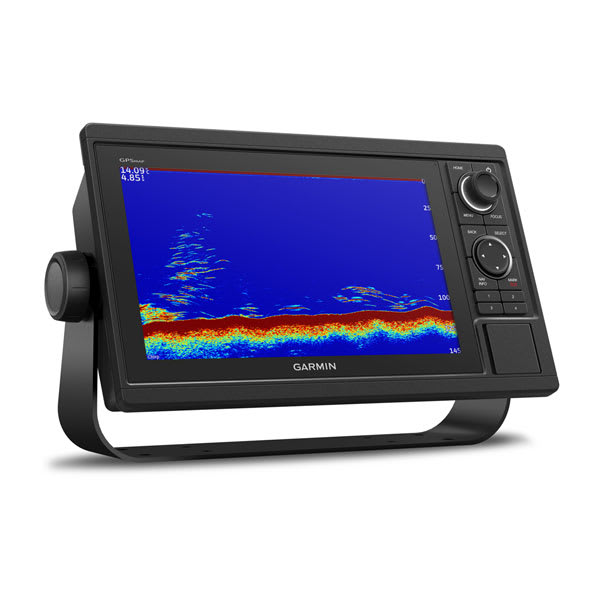
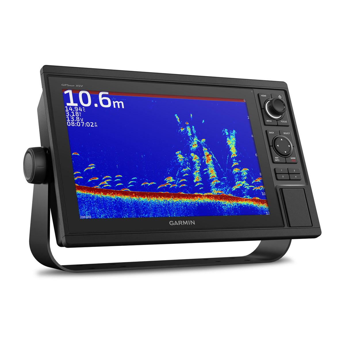
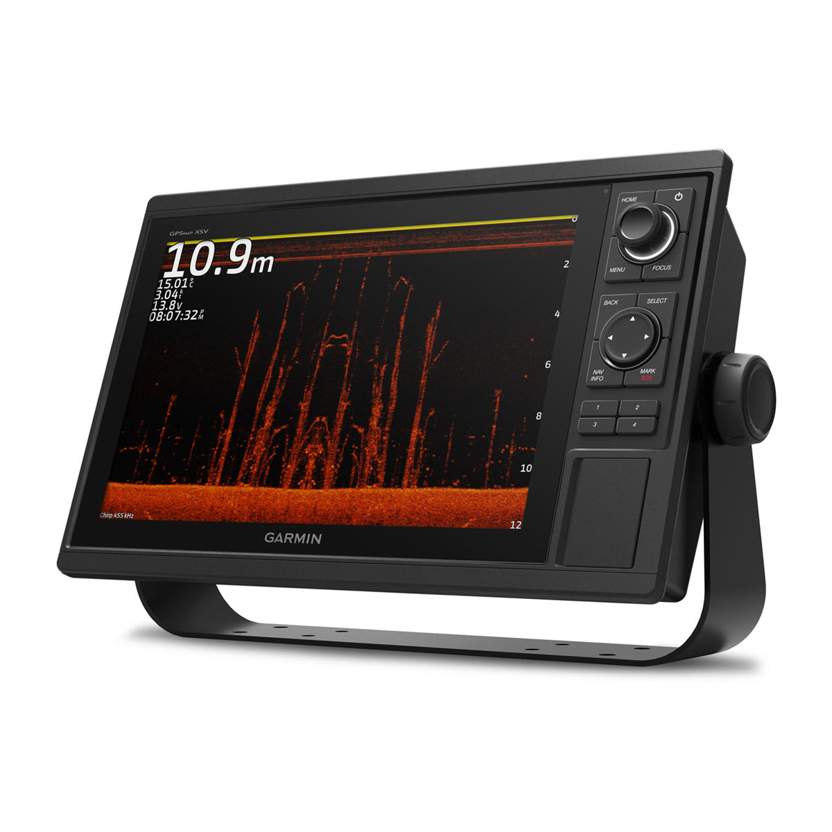
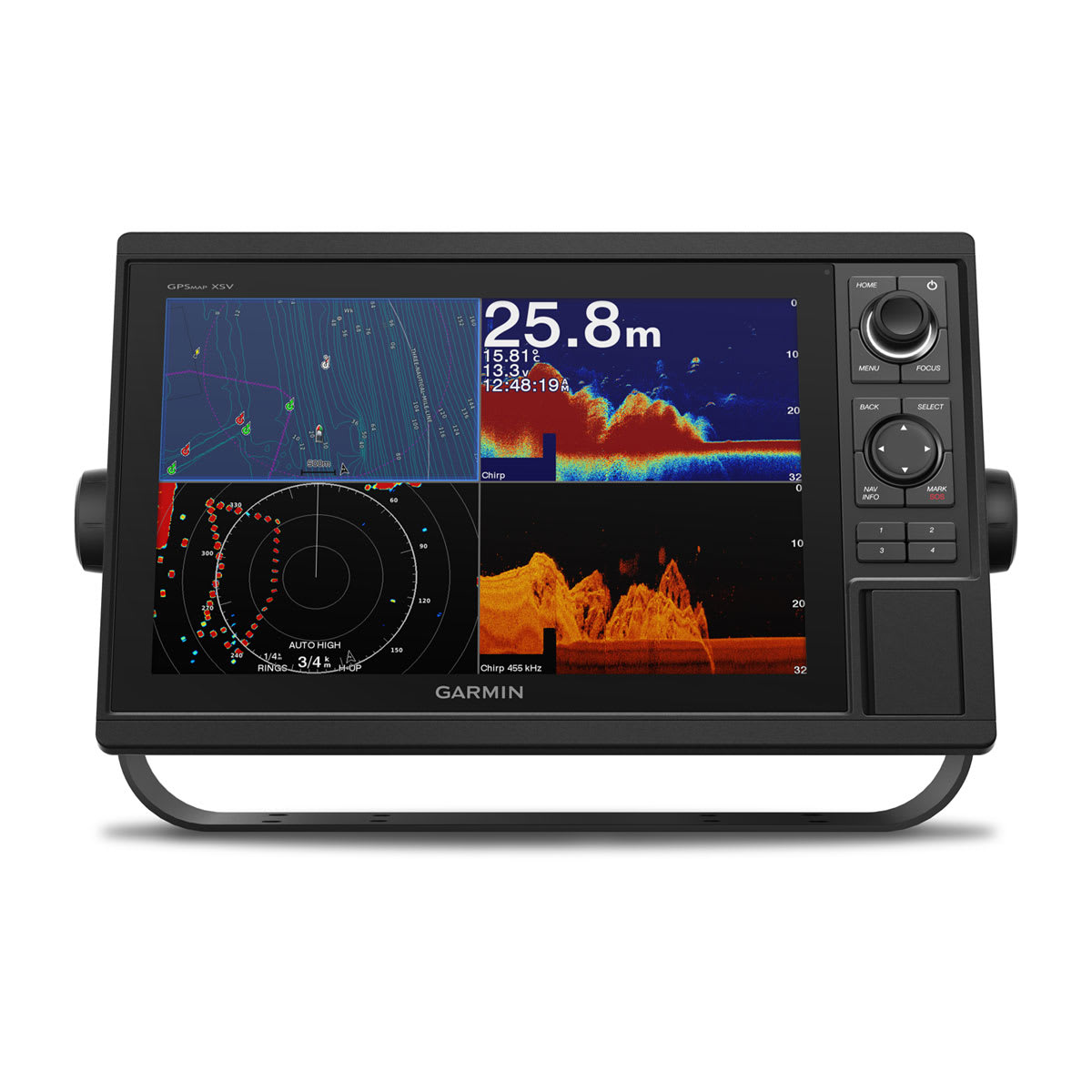
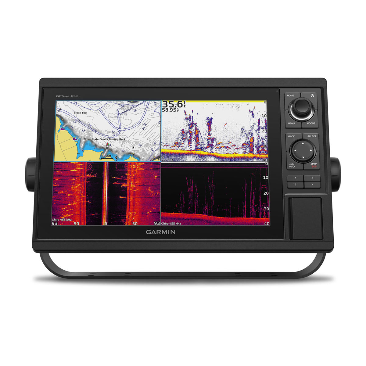
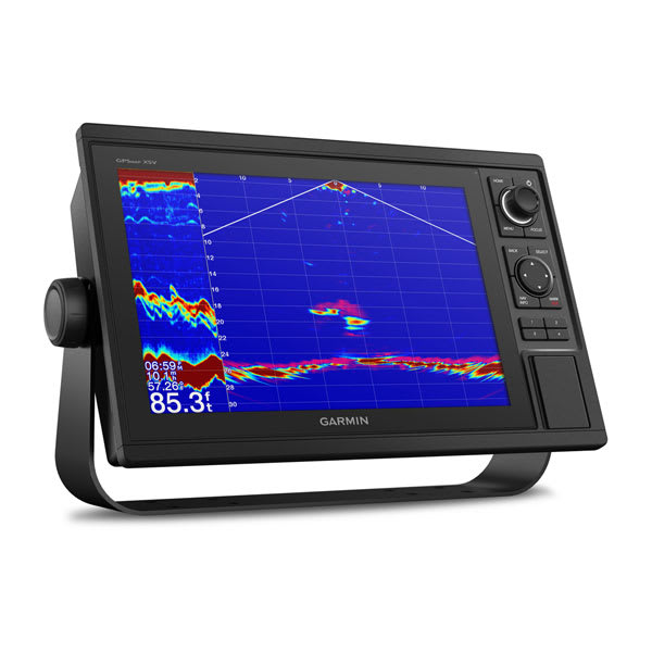
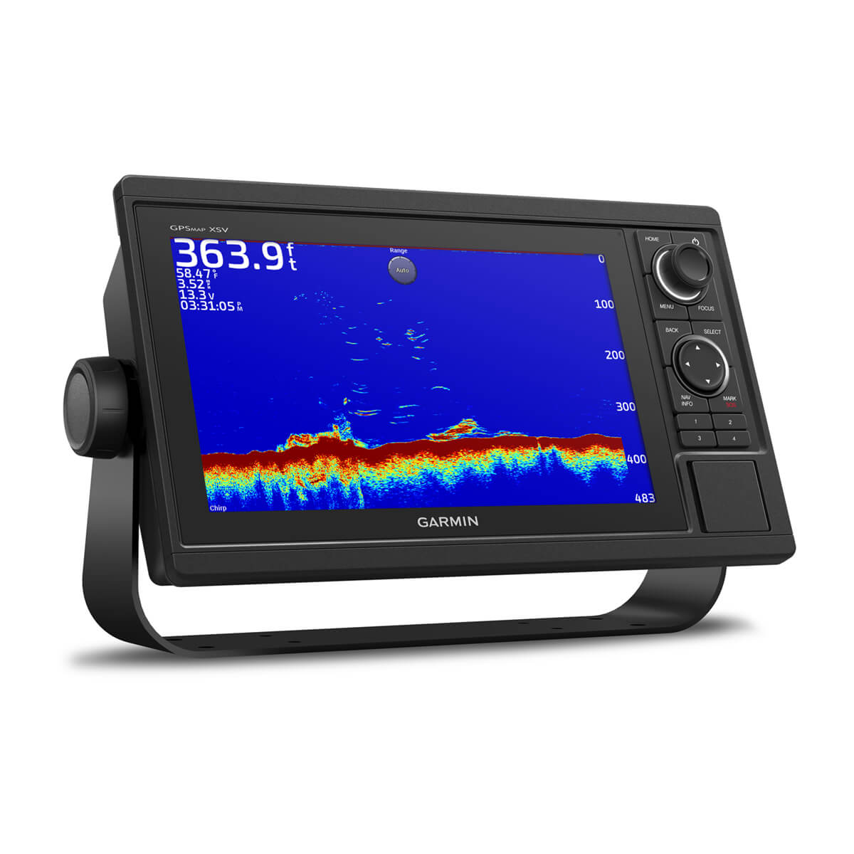
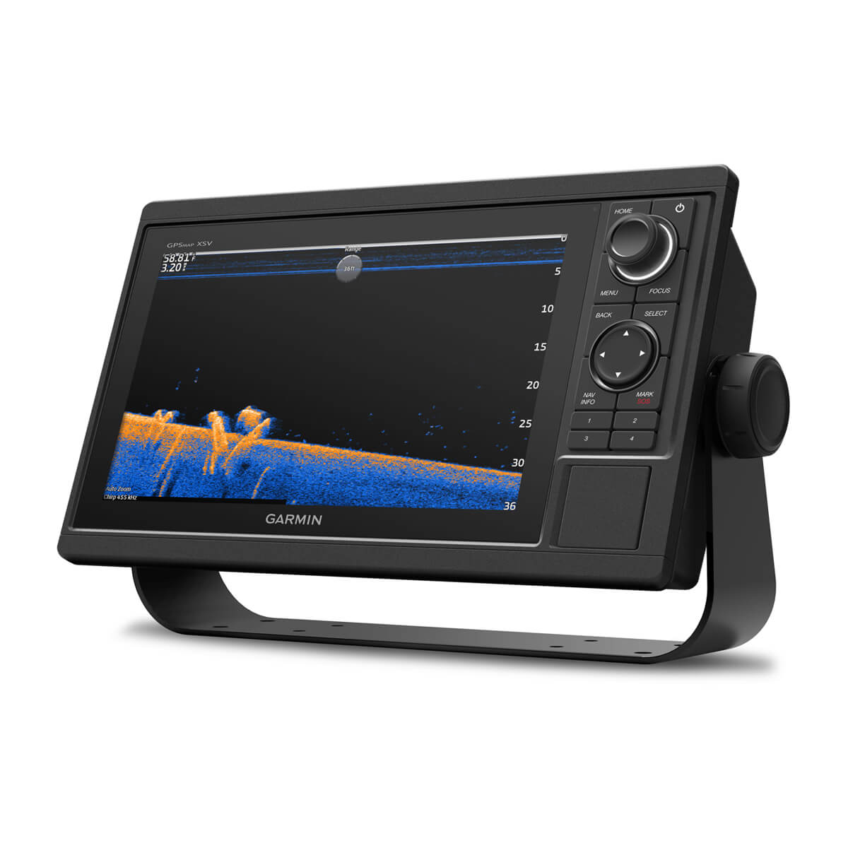
See what’s around your boat with built-in sonar capabilities on select models (transducers sold separately).


A feature-rich chartplotter.
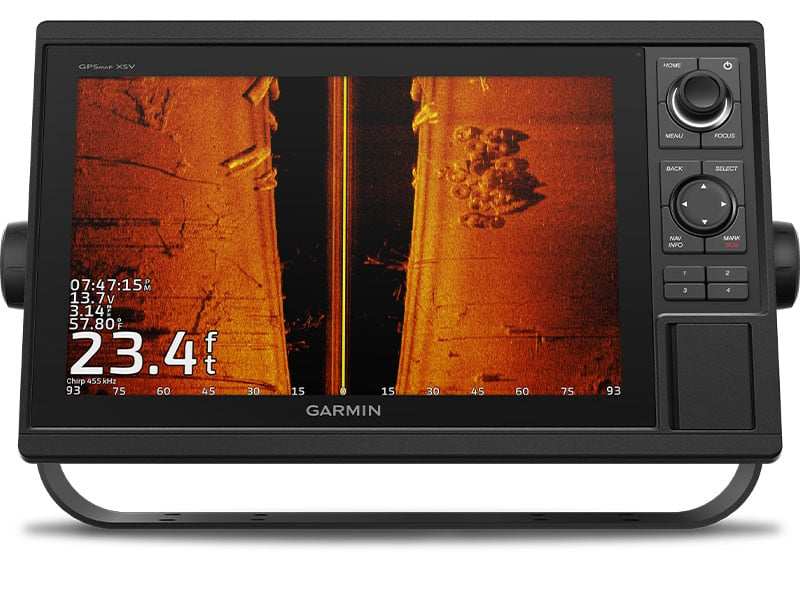
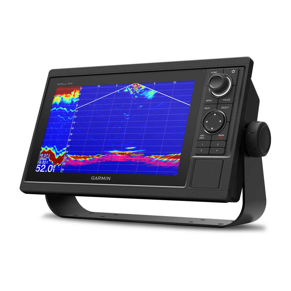
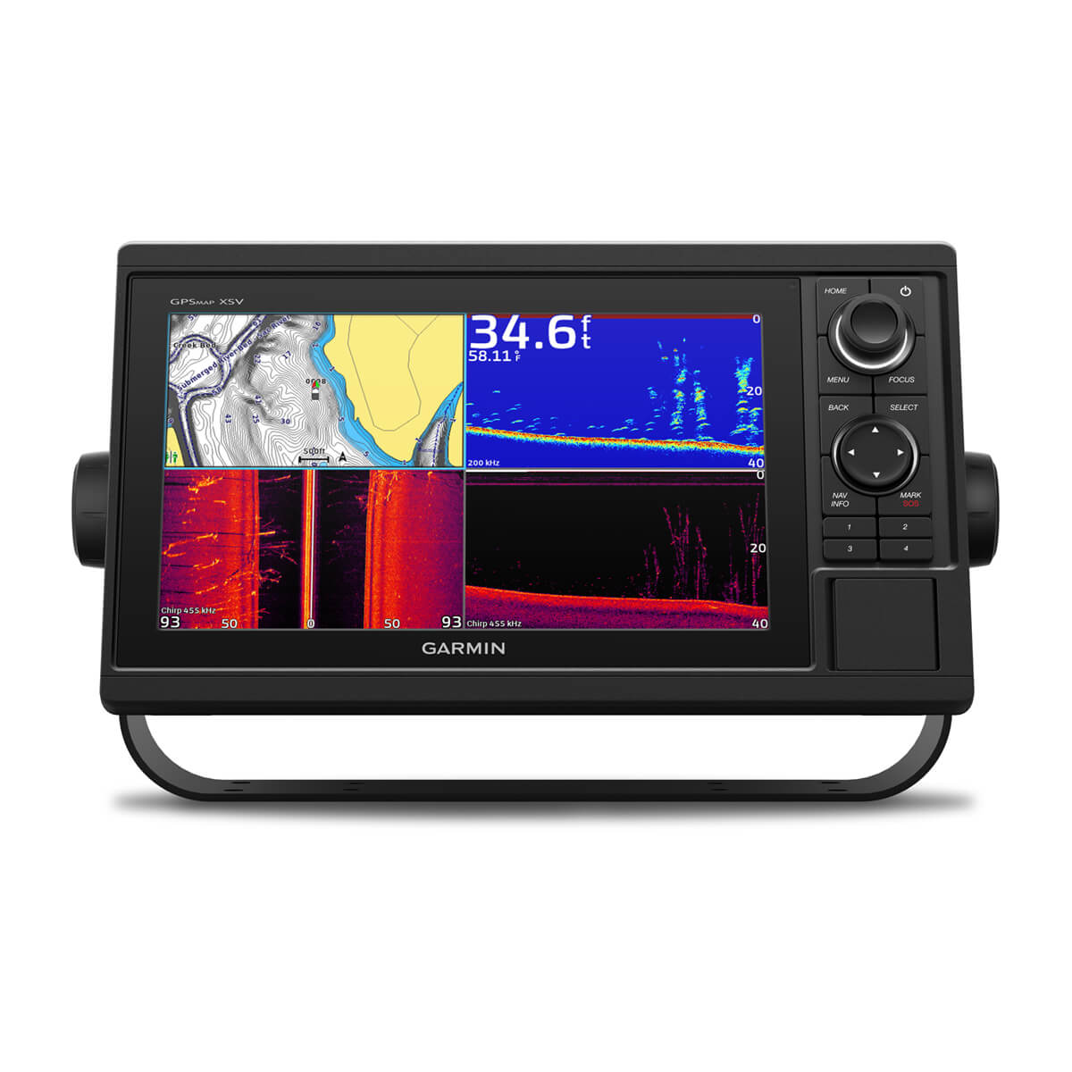
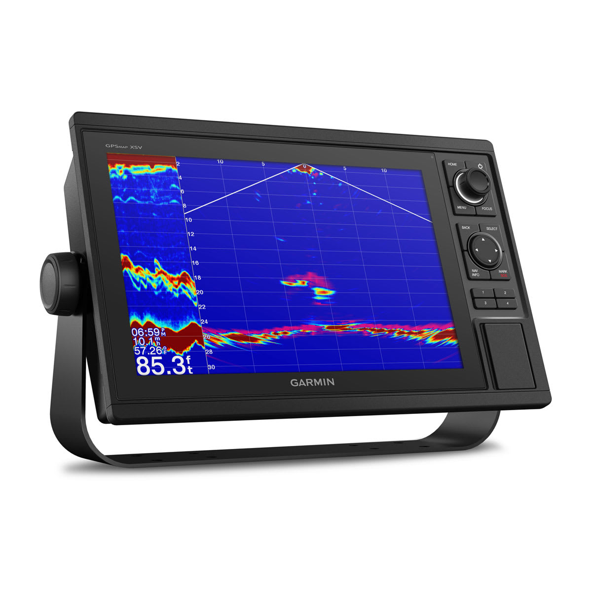
SONAR CAPABLE
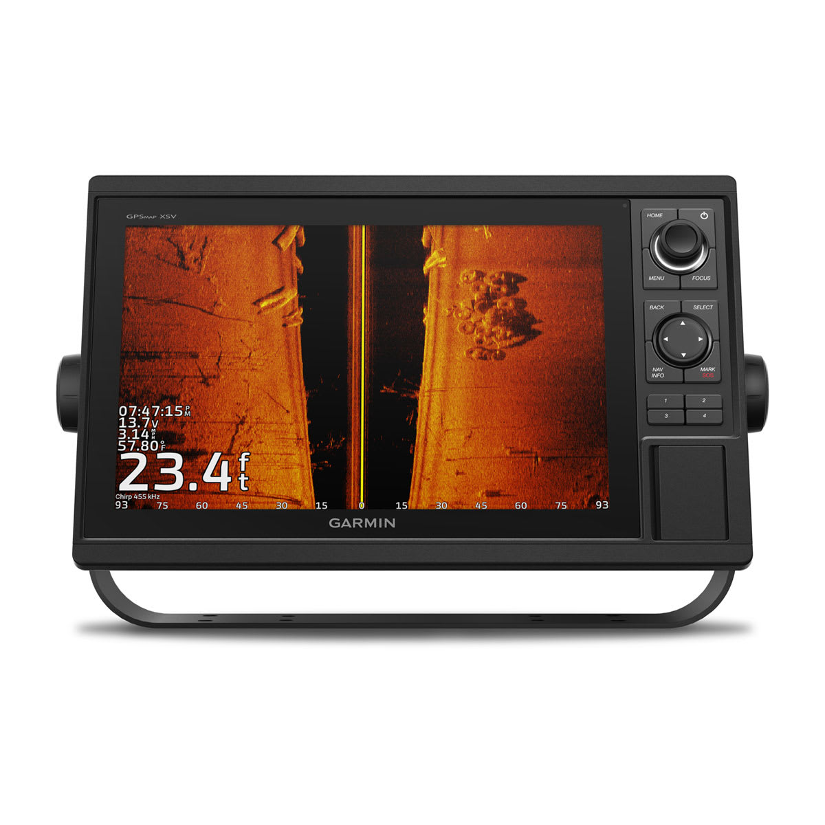
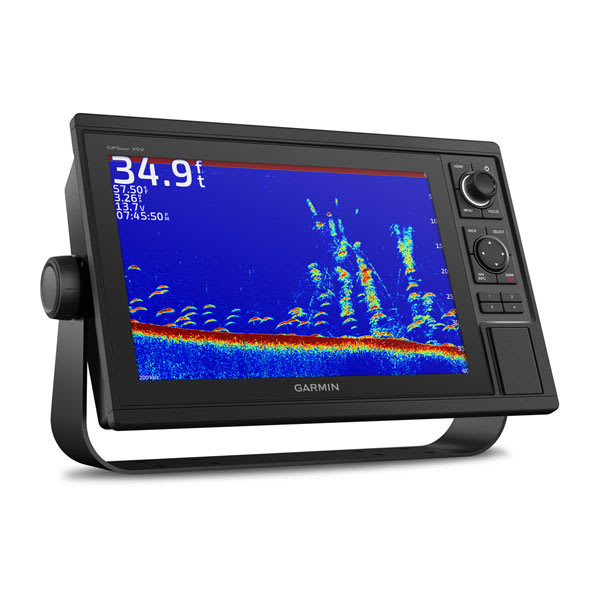
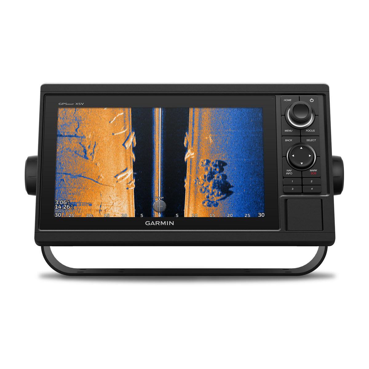
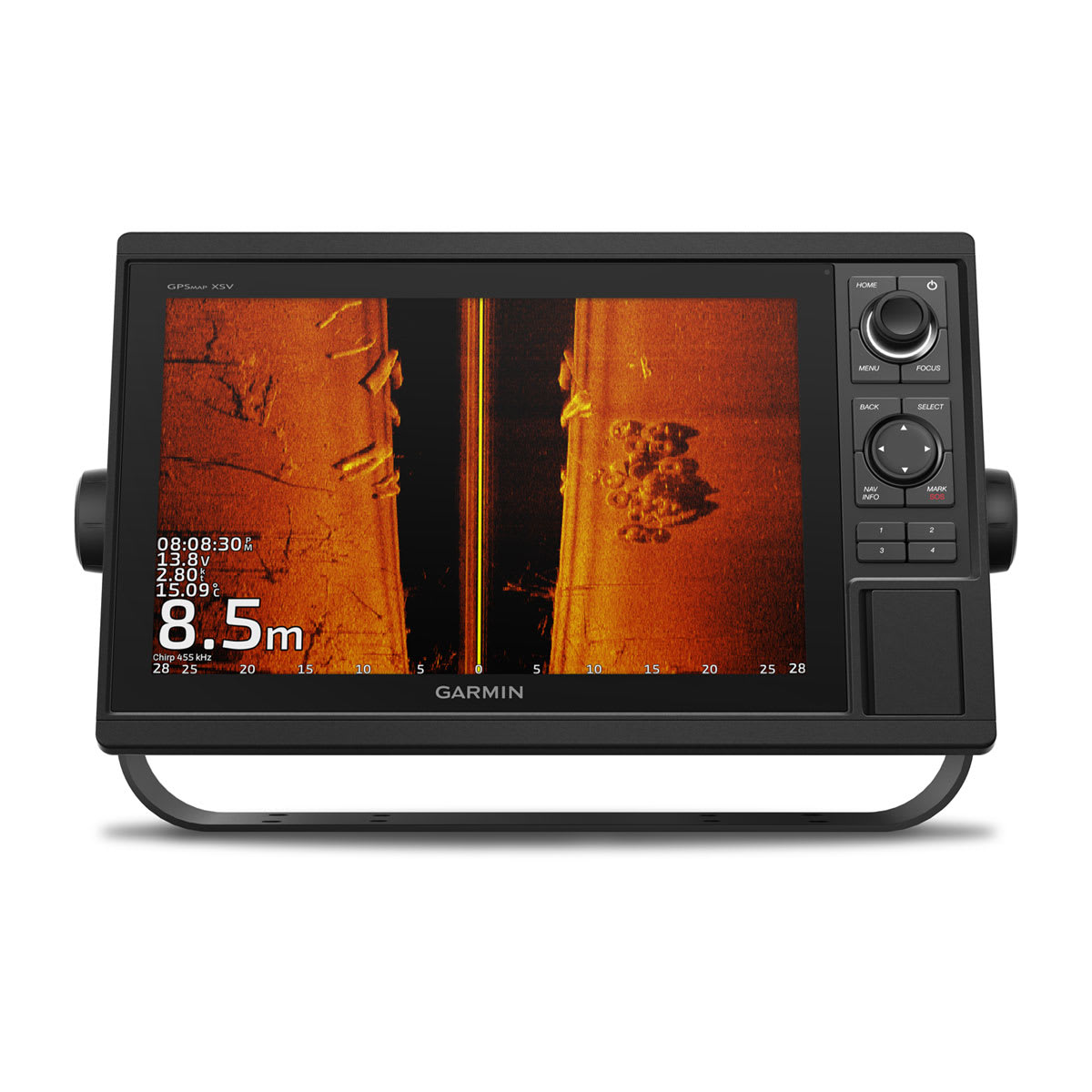
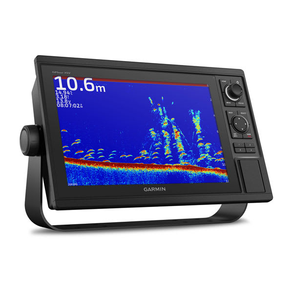
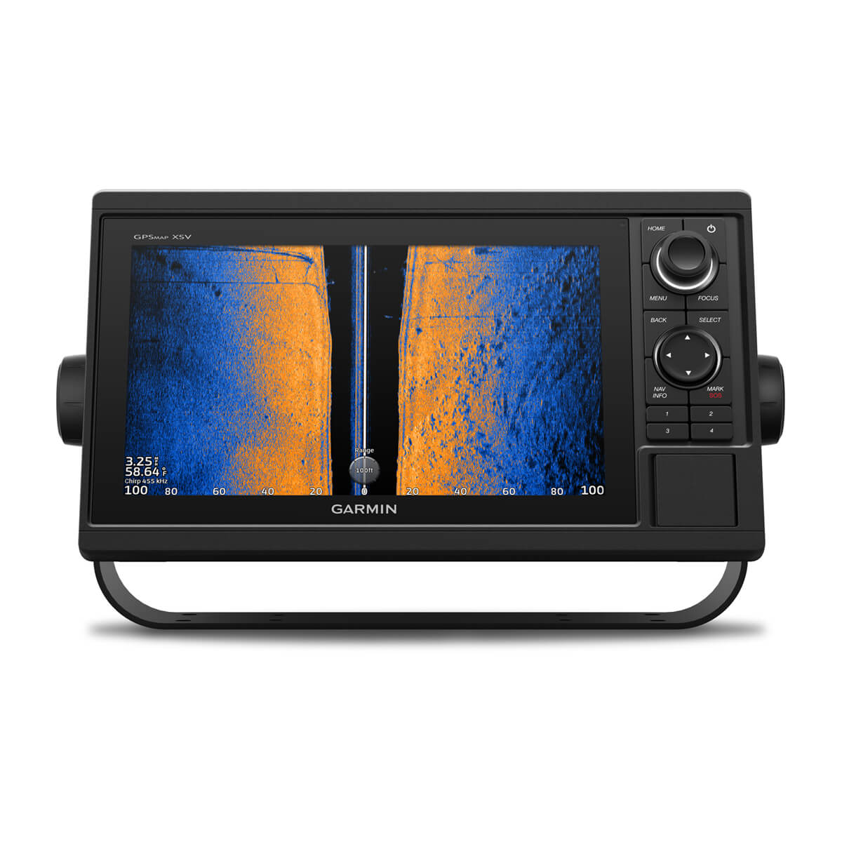
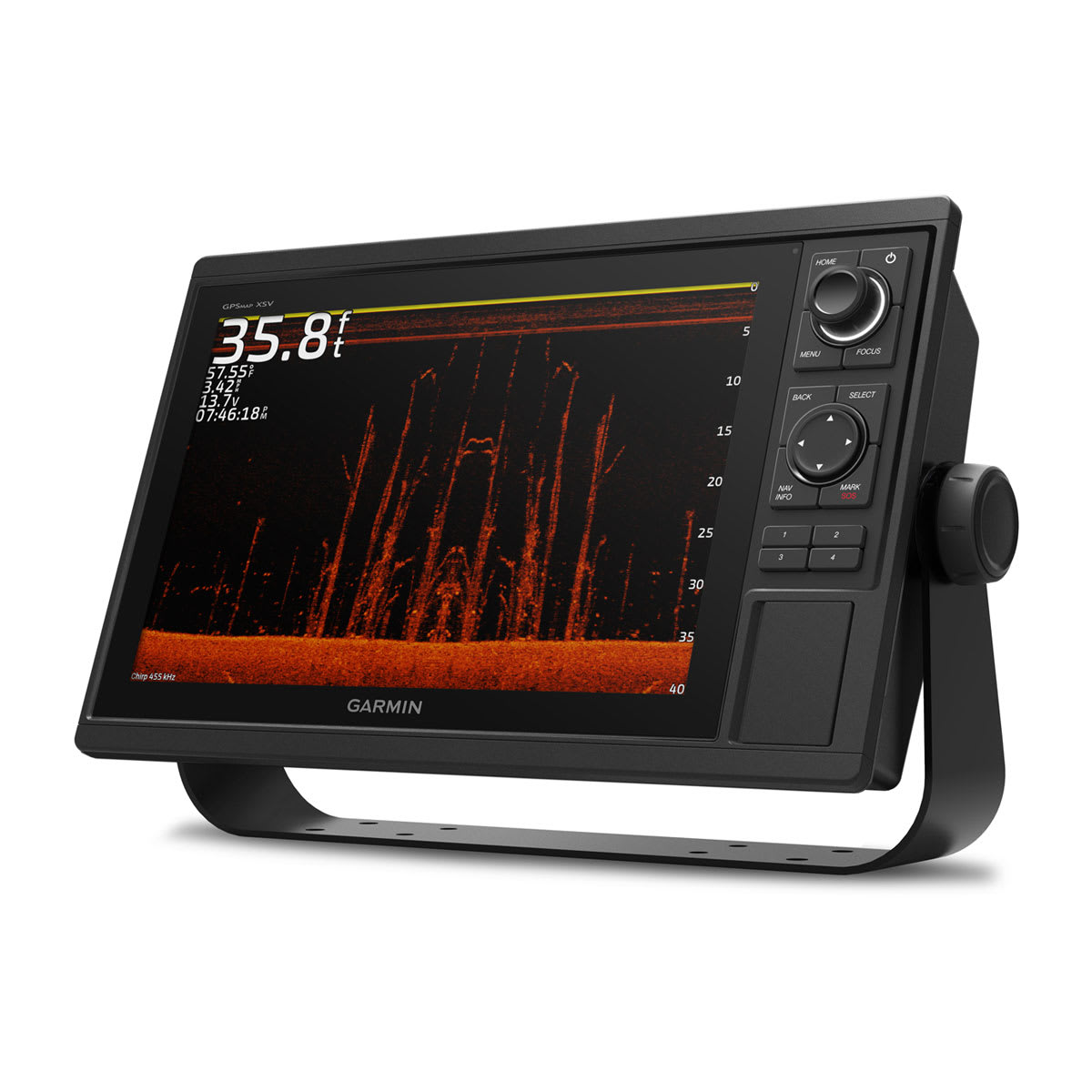
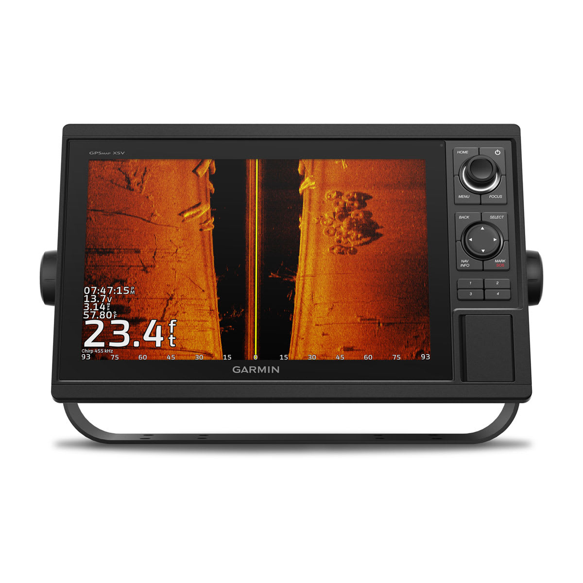
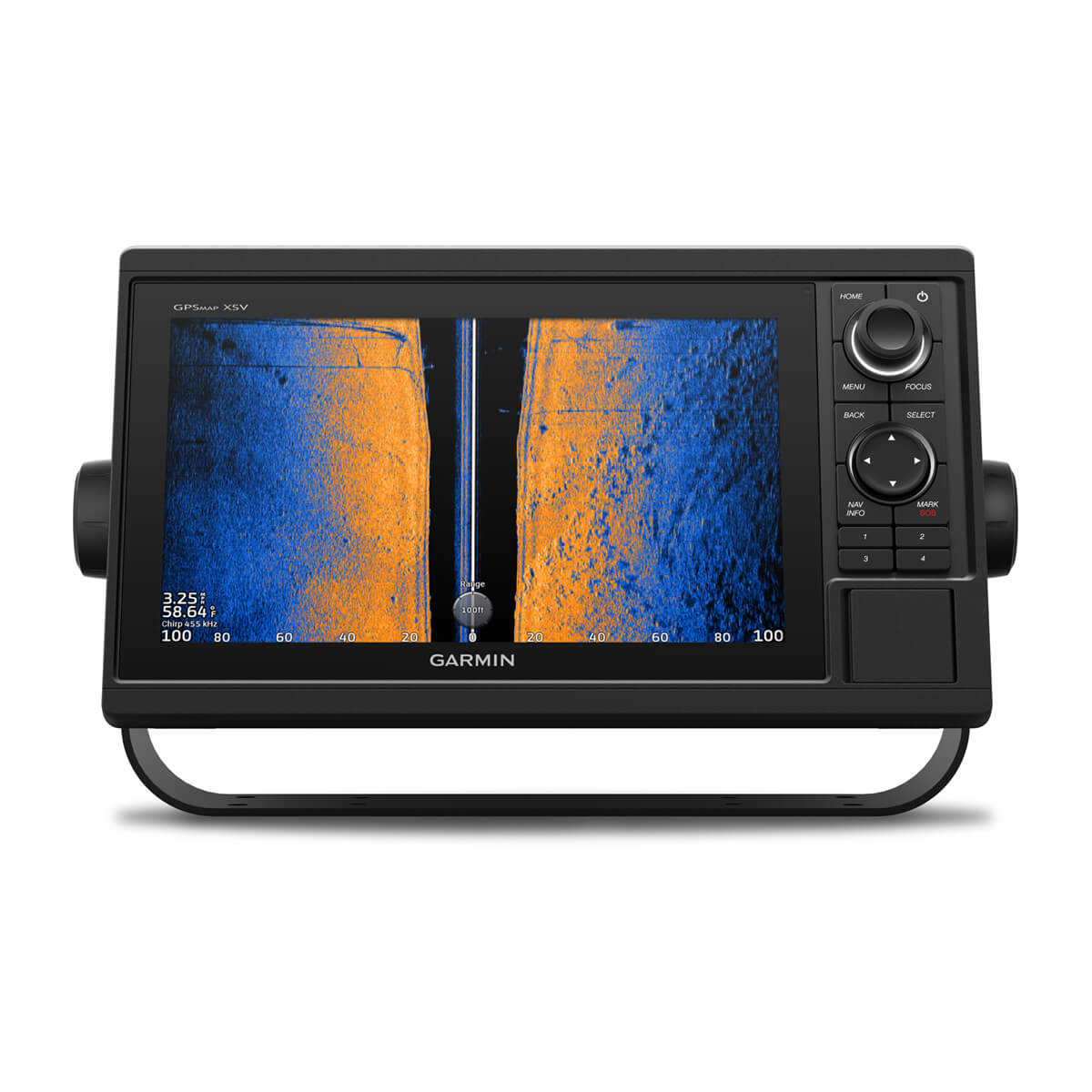
The chartplotters include built-in single-channel CHIRP sonar plus CHIRP ClearVü™ and CHIRP SideVü™ scanning sonars with Panoptix™ and LiveScope™ sonar support on select models (transducers sold separately).
BUILT-IN ANT® CONNECTIVITY
Enjoy built-in ANT wireless connectivity directly to your compatible Garmin devices such as quatix® marine watches, gWind™ Wireless 2 transducers, GNX™ Wind marine instruments and wireless remote controls.
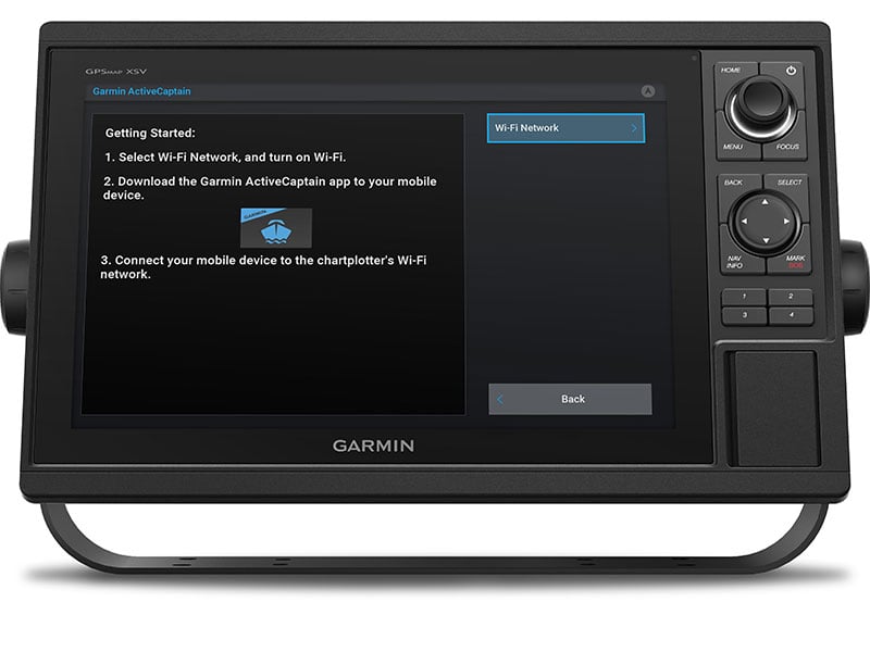
CONNECTED ACTIVECAPTAIN® APP
Built in Wi-Fi® technology gives you access to the free all-in-one ActiveCaptain app, so you can manage your marine experience from nearly anywhere on your compatible smartphone.


Navigate with ease.
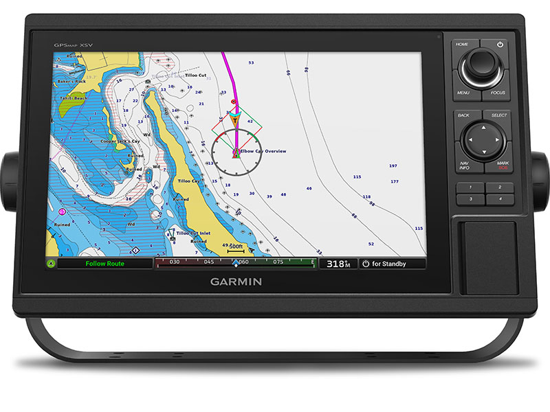
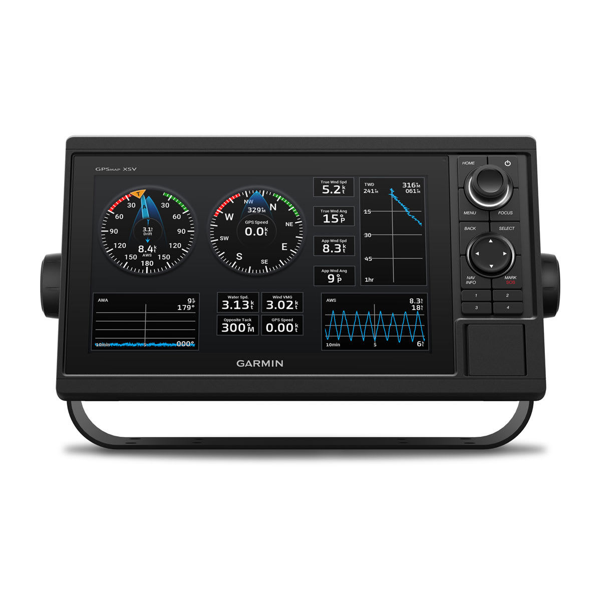
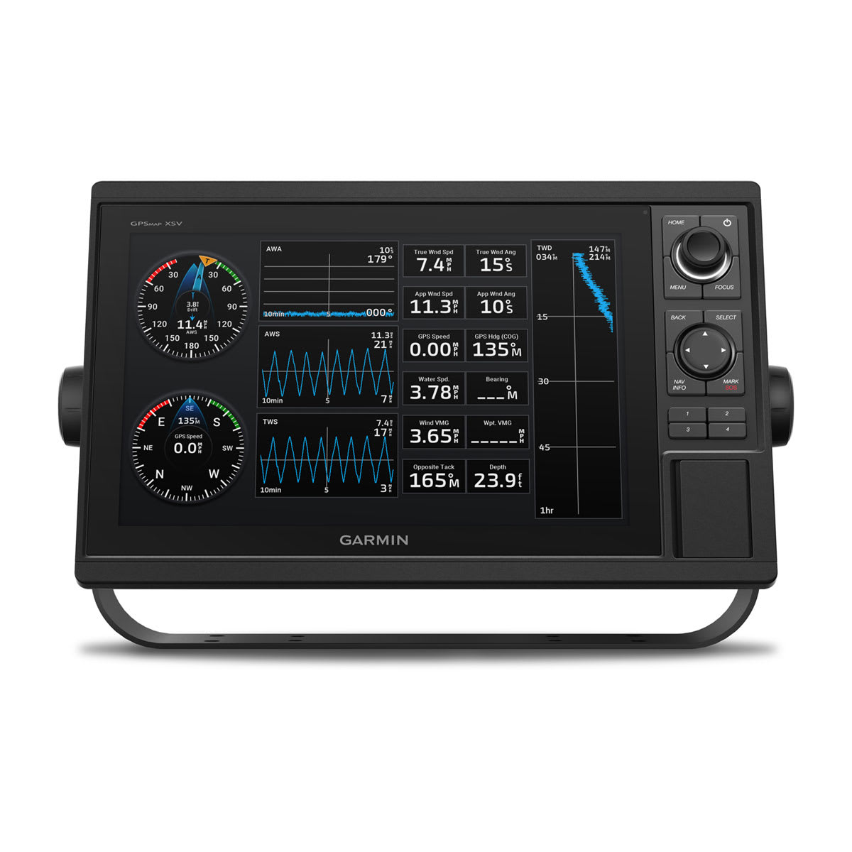
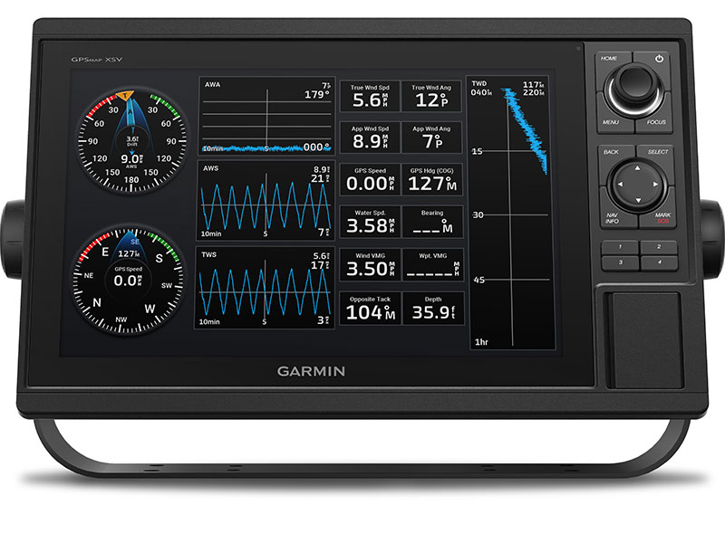
GARMIN SAILASSIST™ FEATURE
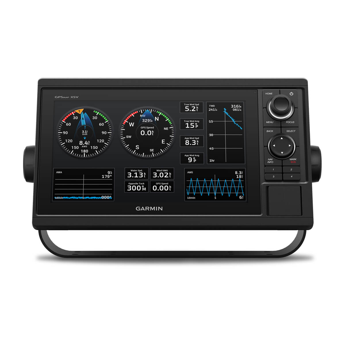
Use the polar table to view important data fields to help you trim your sails for maximum speed and efficiency. You can also see laylines, set and drift, true and apparent wind data (sensor sold separately), and more.
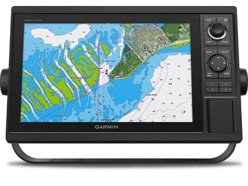
UPGRADE CHARTS AND MAPS
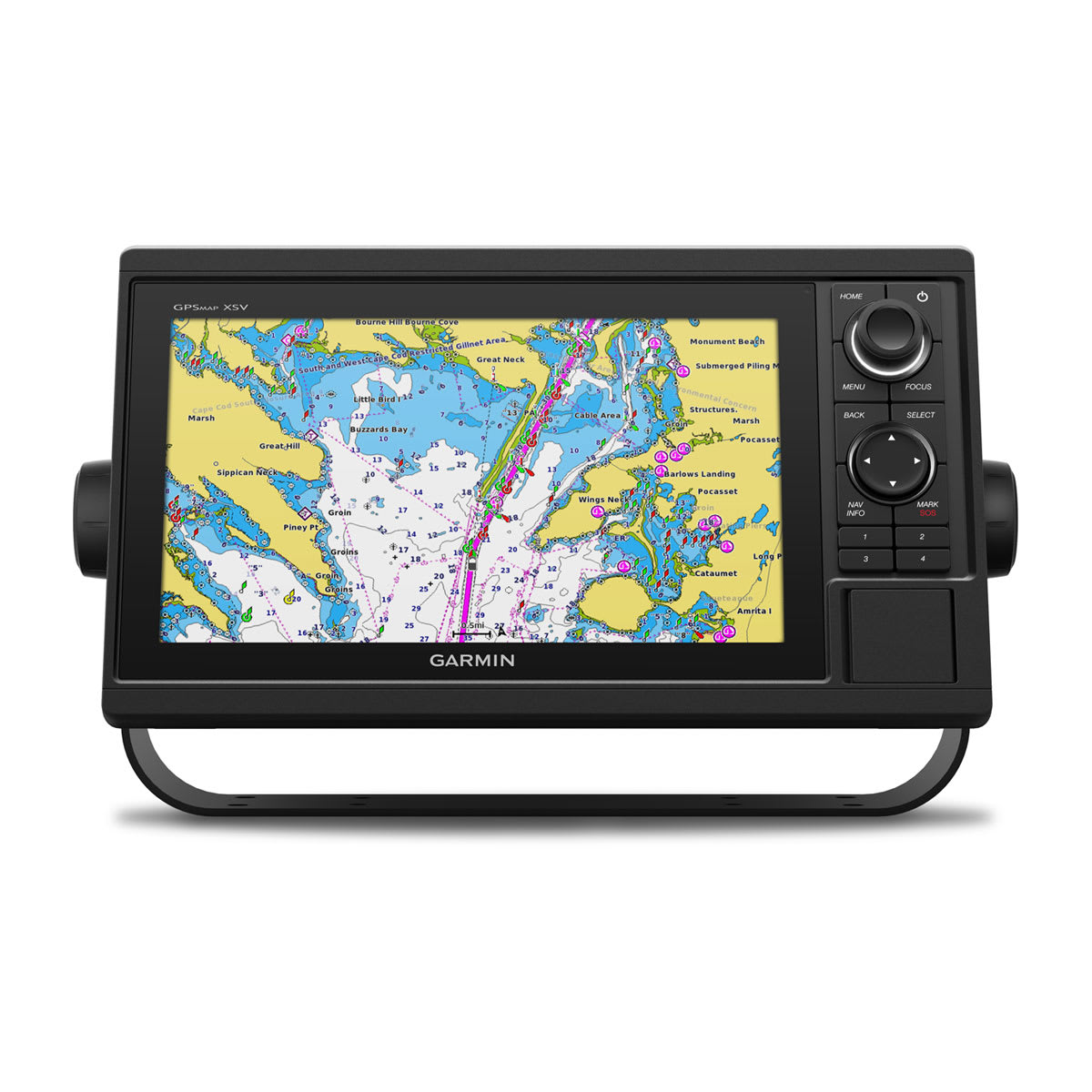
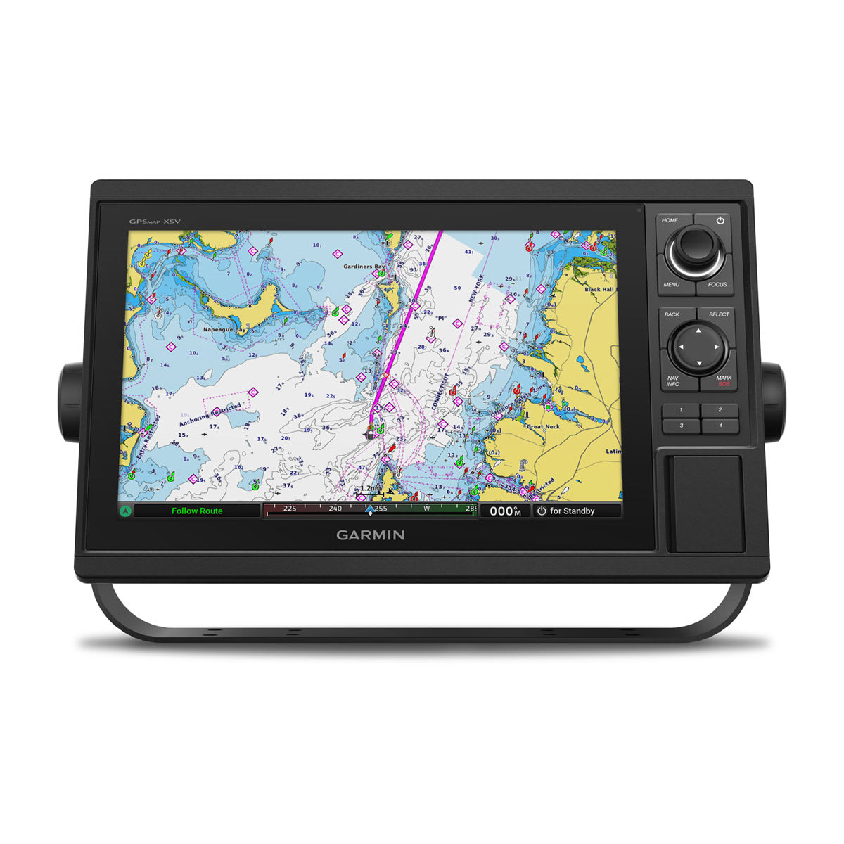
Optional Garmin Navionics Vision+™ cartography subscription provides downloadable high-resolution relief shading, satellite photos, Auto Guidance+™ technology1 and more.
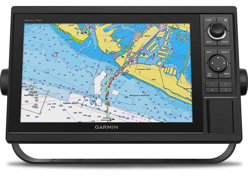
SMOOTH TRACKING
The fast, responsive built-in 10 Hz GPS and GLONASS receiver refreshes your position and heading 10 times each second to make your movement on the screen more fluid.
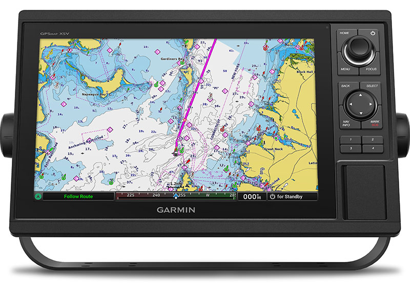
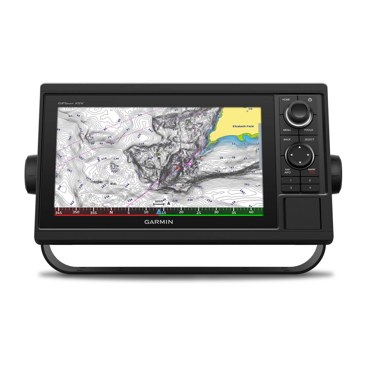
PRELOADED MAPPING
Select a chartplotter with our built-in worldwide basemap or Garmin Navionics+™ coastal charts and inland mapping that includes Auto Guidance+ technology1, a 1-year subscription for downloadable daily updates and more.
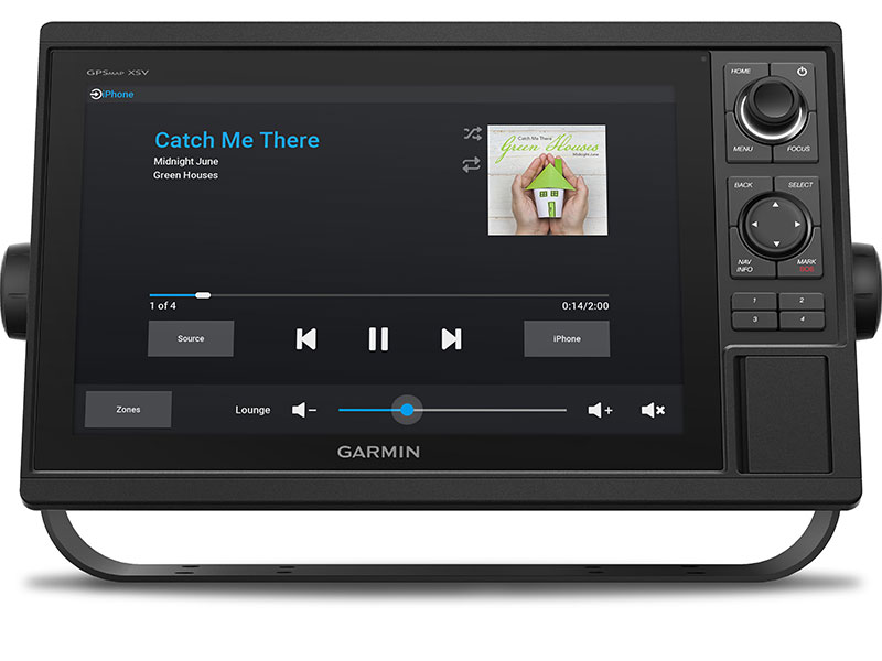
NETWORK CAPABLE
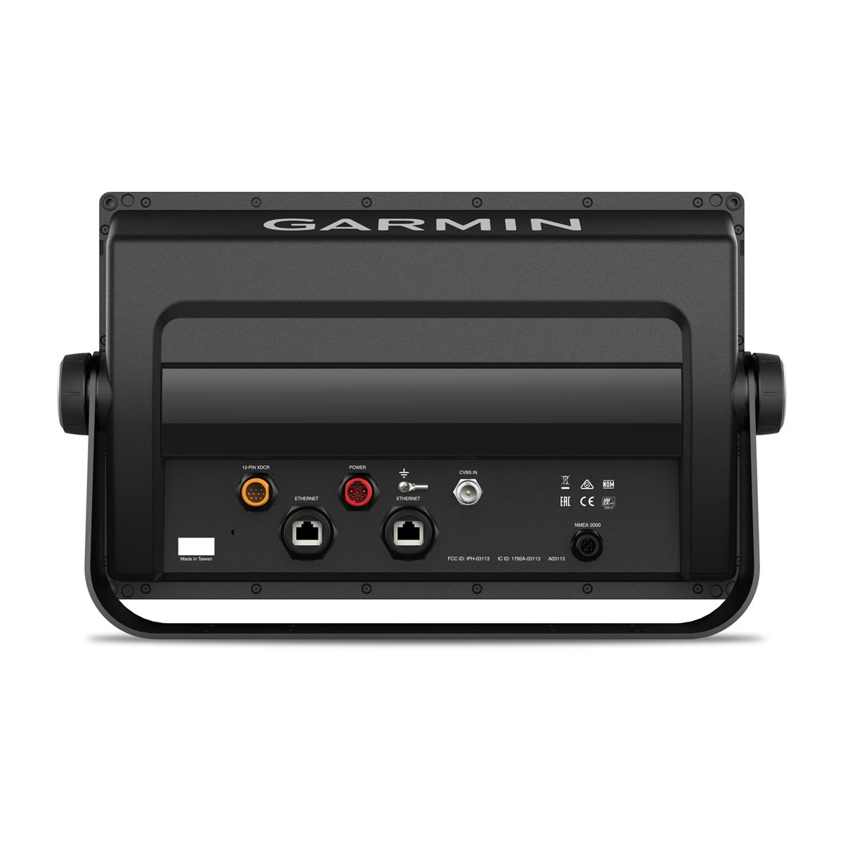
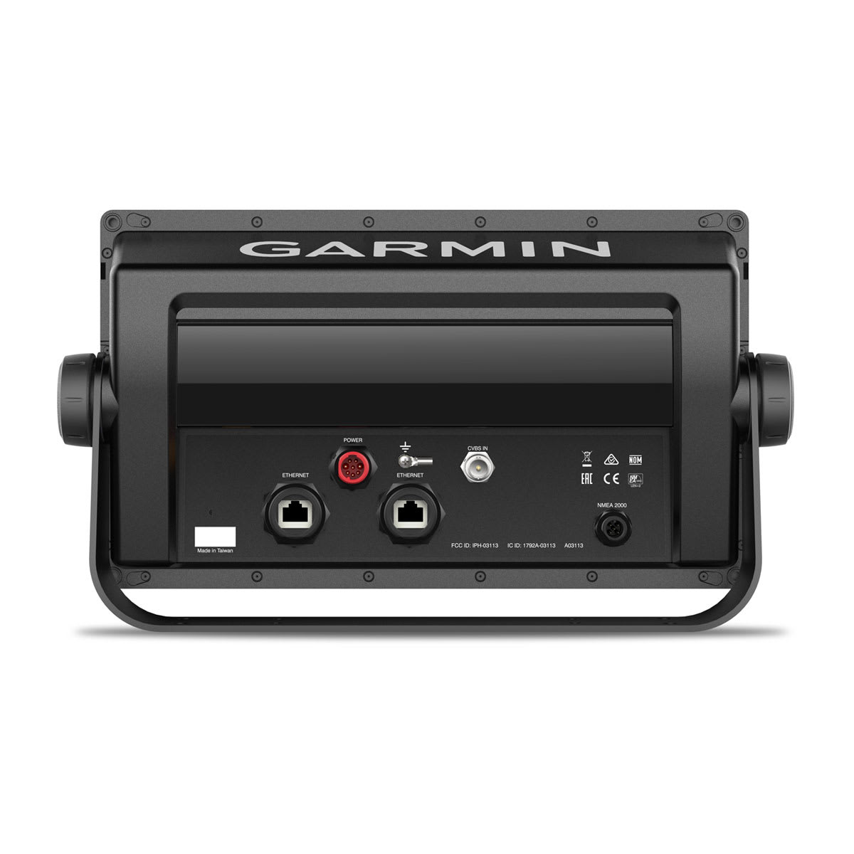
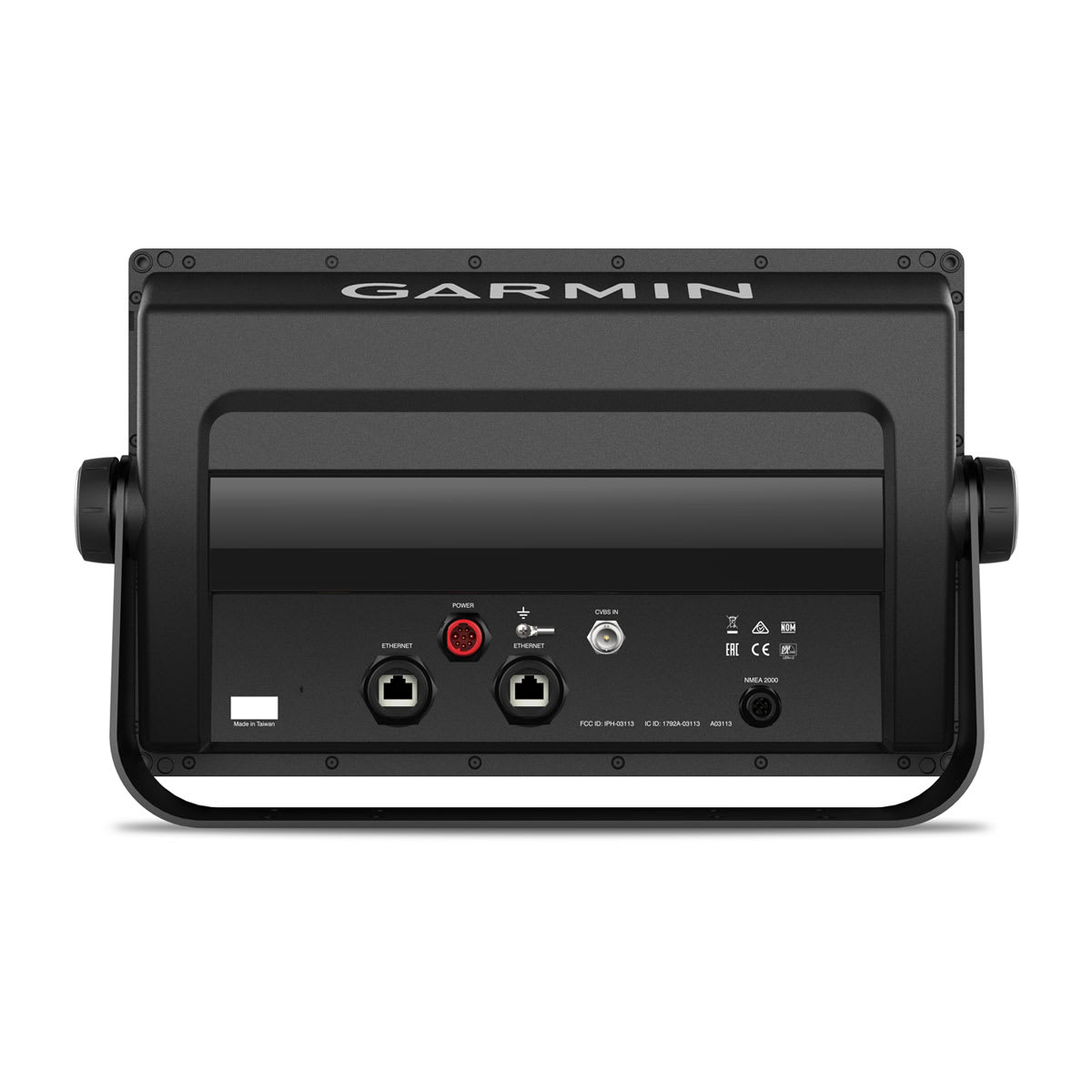
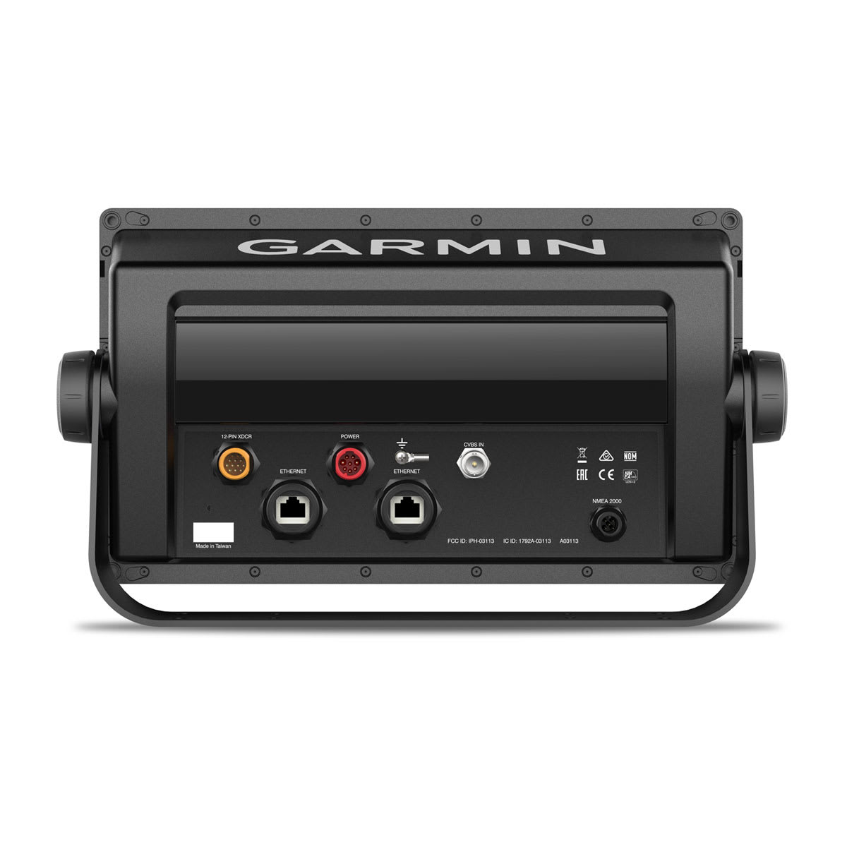
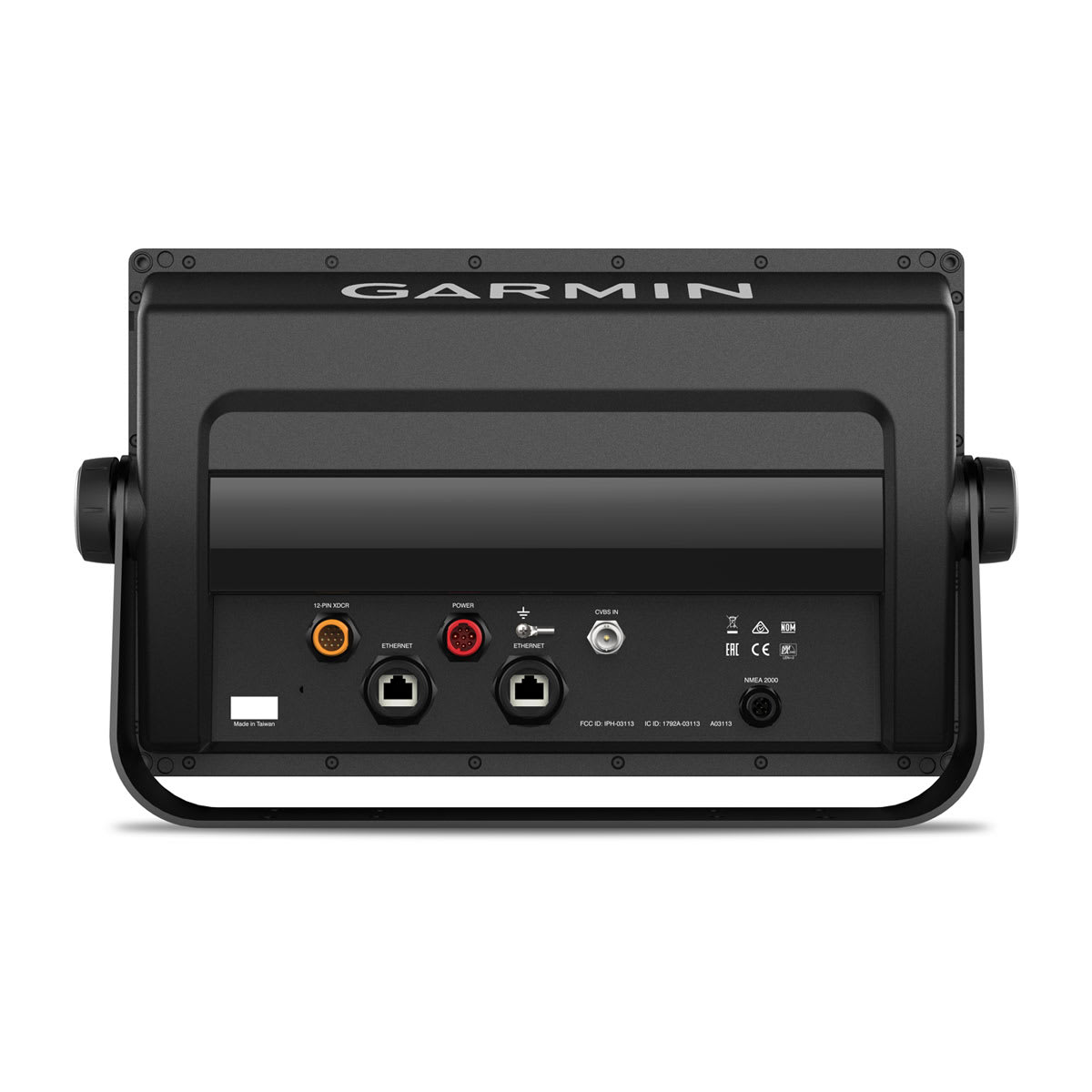
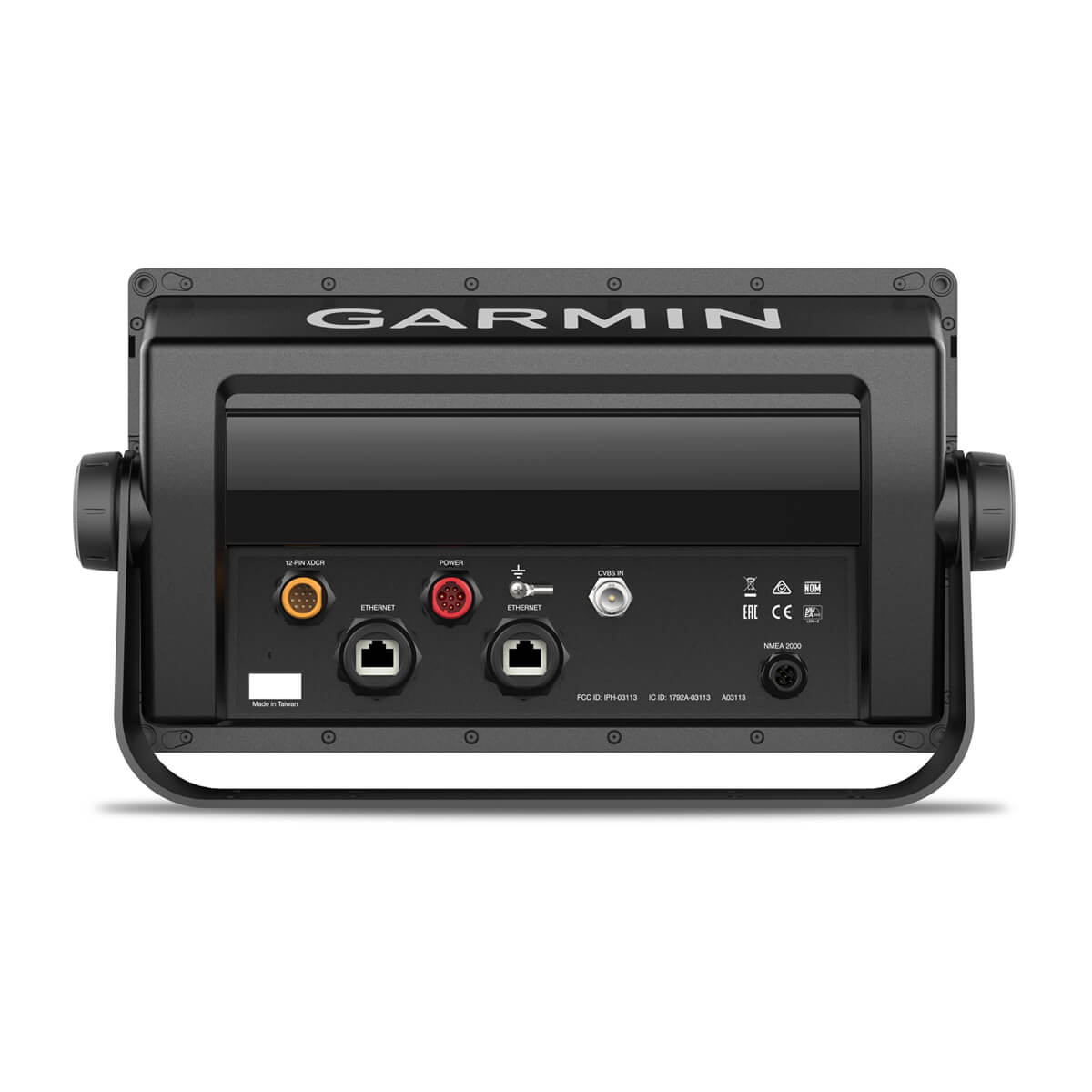
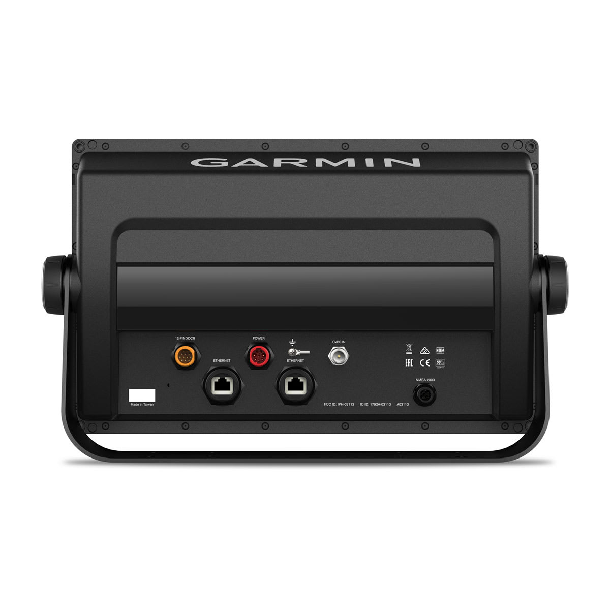
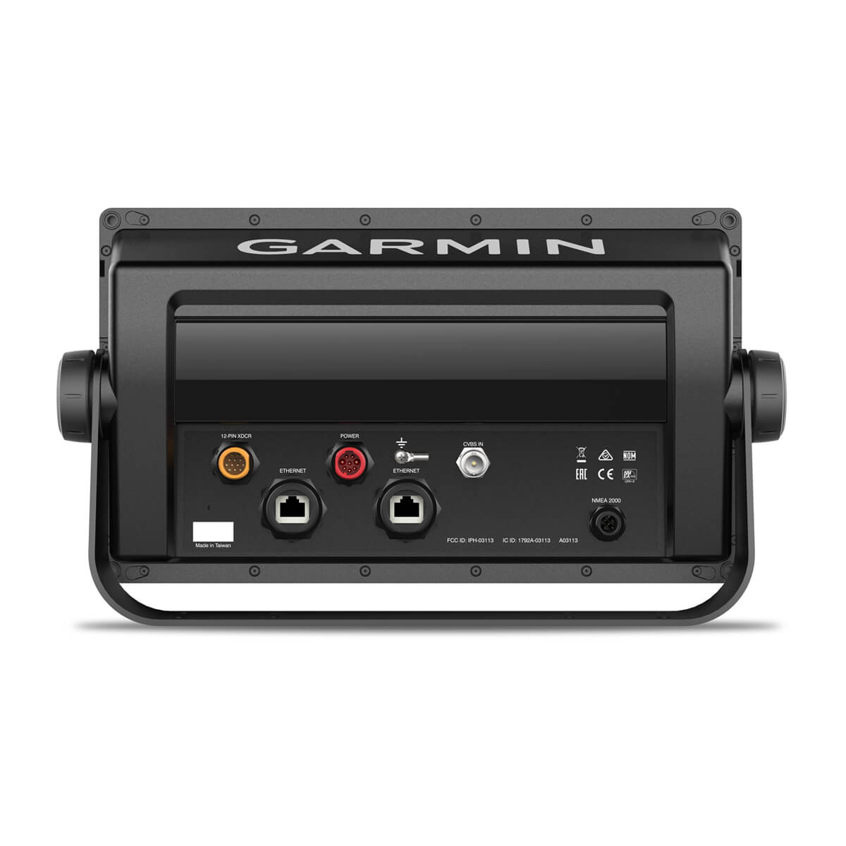
The GPSMAP chartplotters are fully network capable for the Garmin Marine Network and NMEA 2000® networking plus NMEA 0183 technology support.
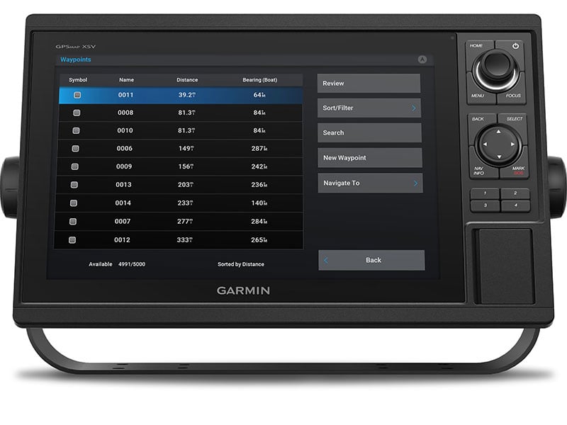
GPX WAYPOINTS TRANSFER
Easily transfer waypoints, tracks or frequently used routes from other devices via industry standard GPX software formatting.
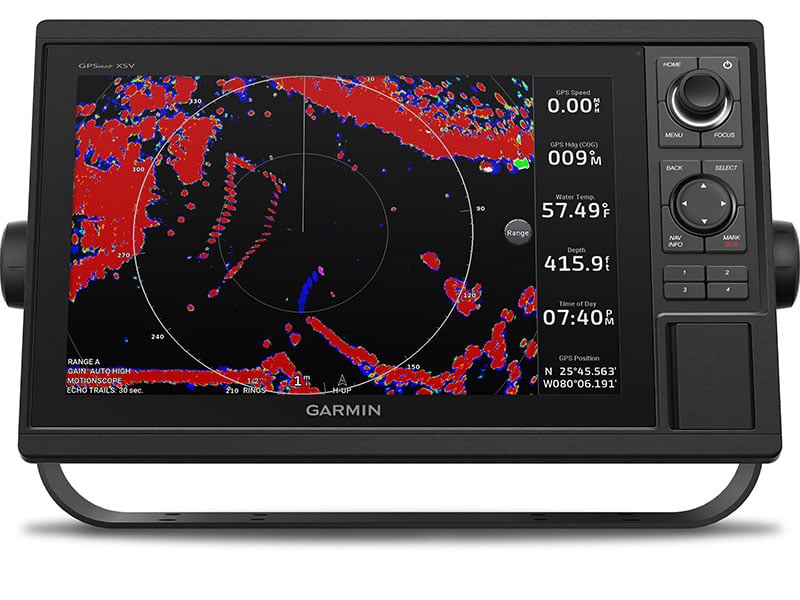
COMPLETE NETWORK SHARING
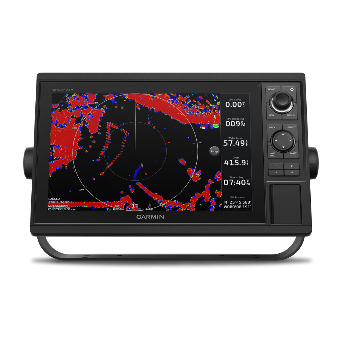
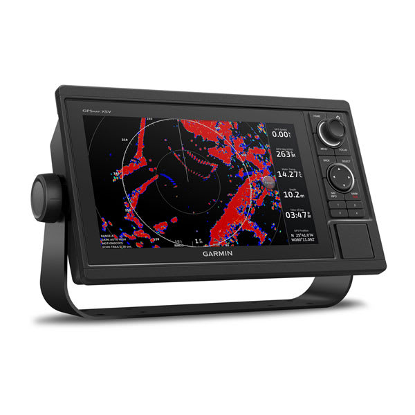
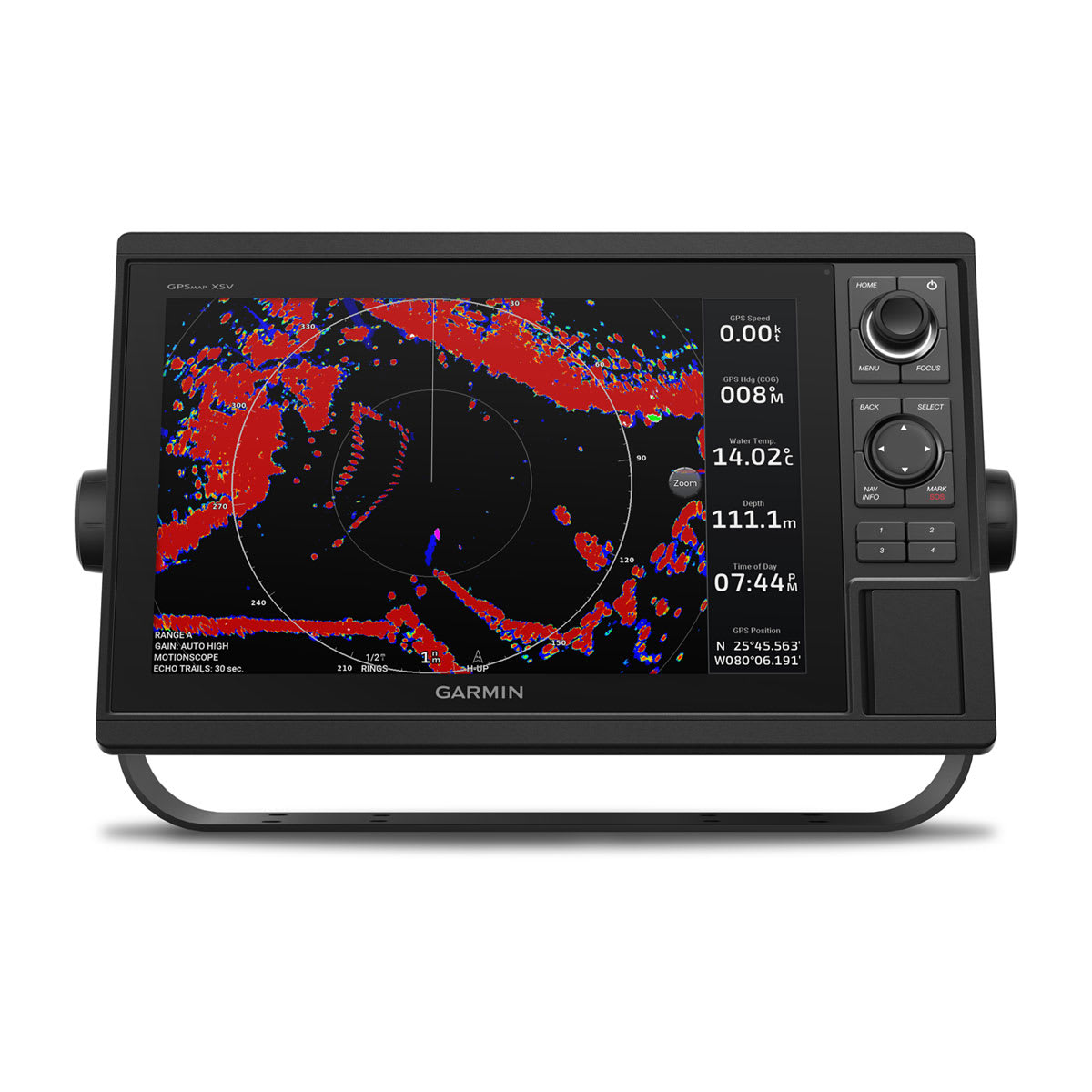
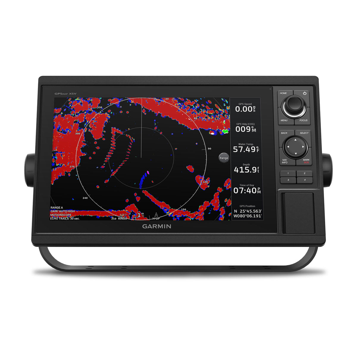
Garmin Marine Network support allows sharing of sonar, maps, user data, dome or open-array radar, and Panoptix and LiveScope sonars among multiple units.
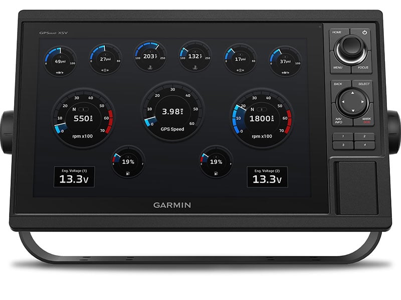
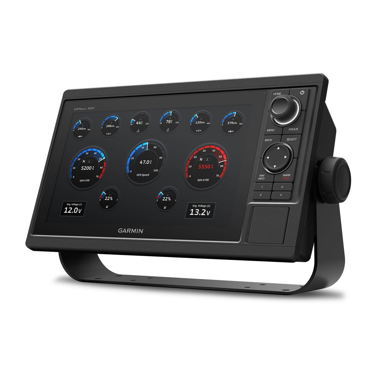
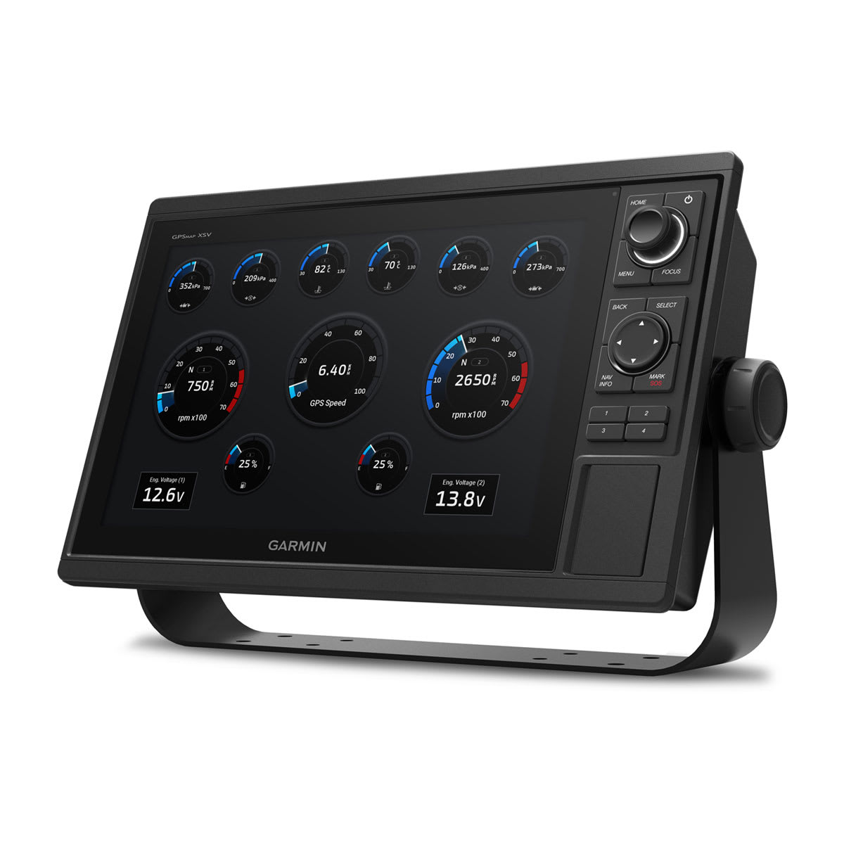
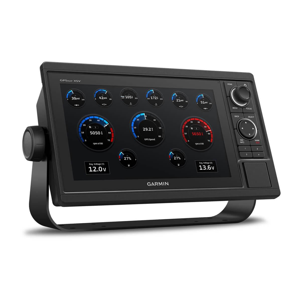
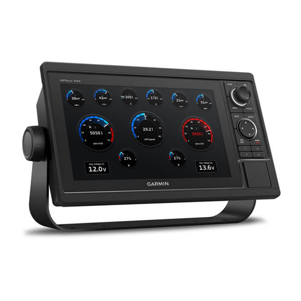
ENGINE CONNECTIVITY
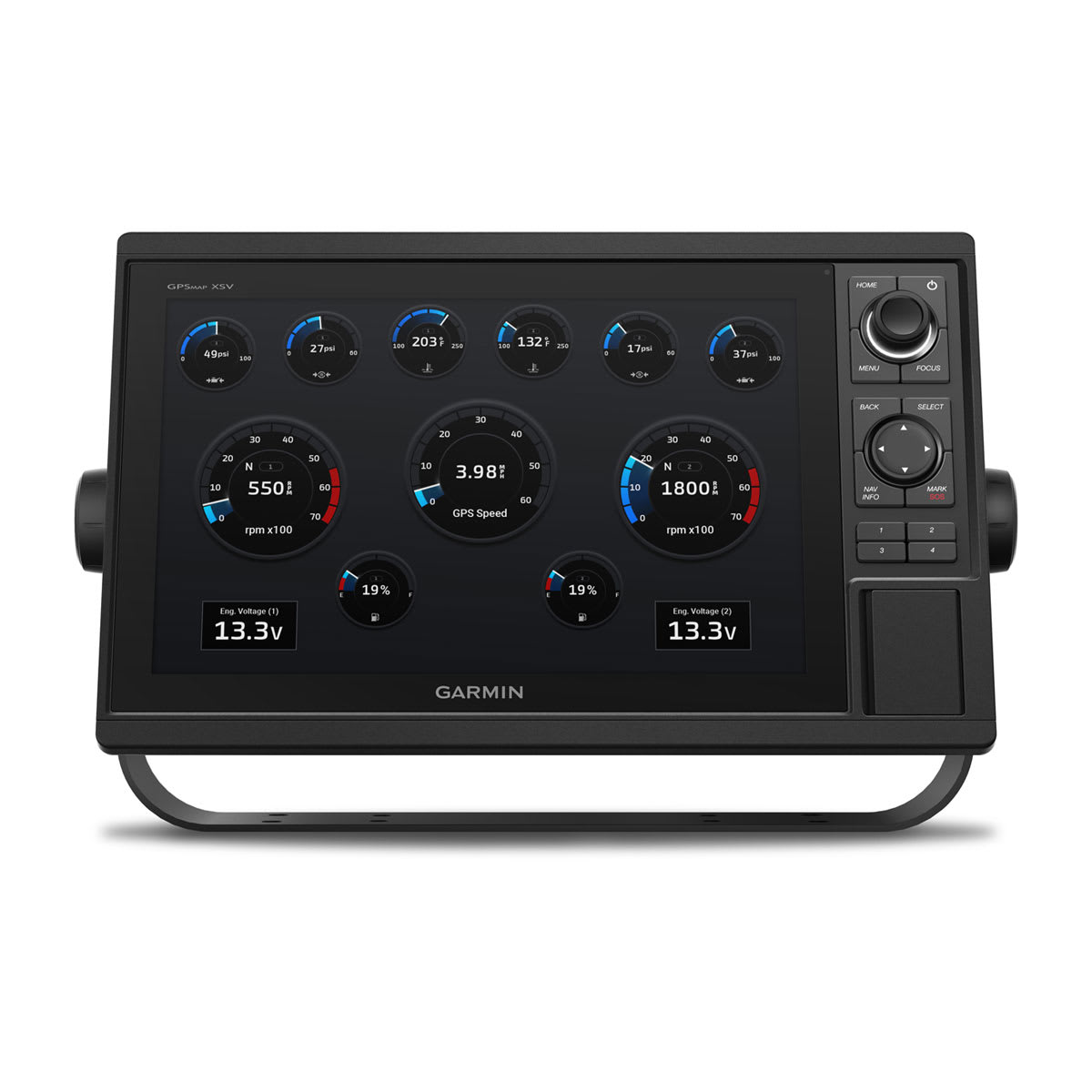
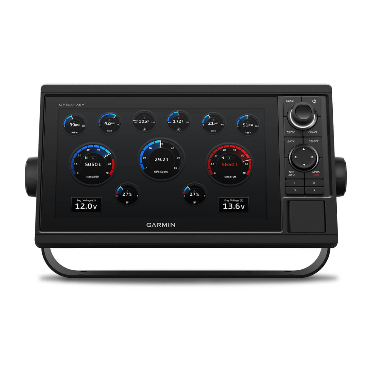
Read RPMs, fuel flow, temperature, trim and other important information at a glance. Check with your engine manufacturer for additional hardware needs.
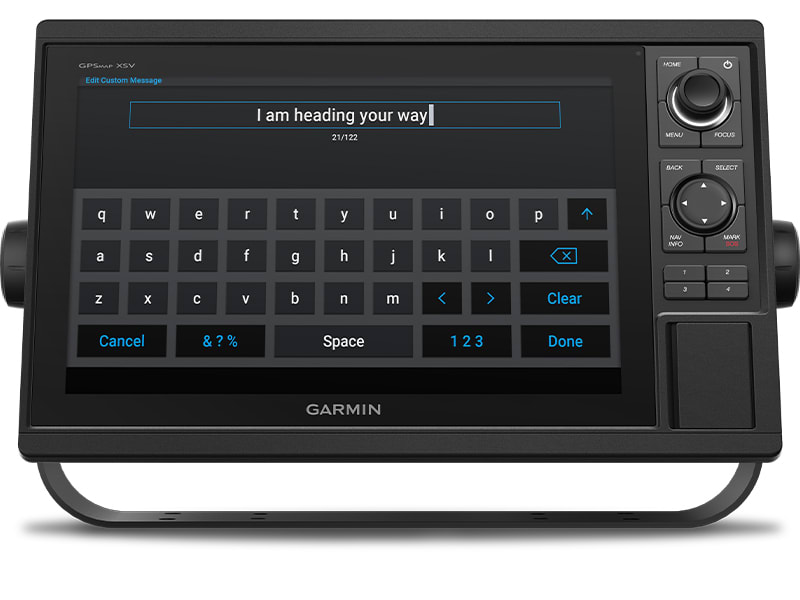
SEND INREACH® DEVICE MESSAGES
Pair your inReach satellite communicator2 to your chartplotter, and type custom messages using your MFD’s on-screen keyboard. Access your contact list or enter an email, inReach address or phone number. You can also group messages by conversation for a texting-like experience.
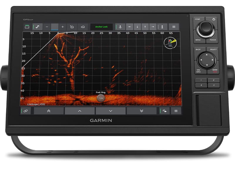
POWER-POLE® SHALLOW WATER ANCHOR
By networking select Garmin chartplotters with a Force® trolling motor and your compatible Power-Pole shallow water anchoring system, you can access advanced boat control features3 from your plotter, including smart anchor auto-deployment, smart anchor jog, auto stow, anchor drag detection and auto guidance4 end-of-route anchoring. Spend more time fishing, less time positioning.
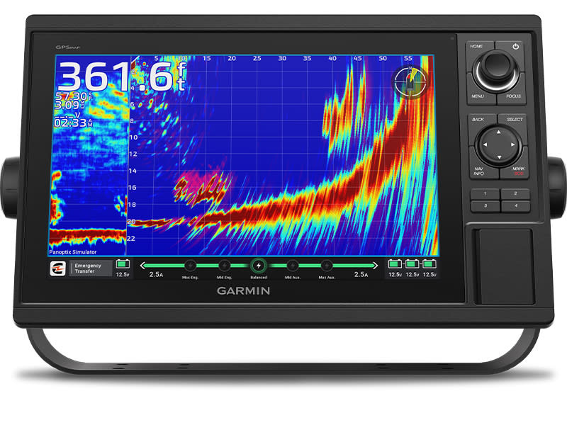
CHARGE INTEGRATION FROM POWER-POLE
Your CHARGE Marine Power Manager from Power-Pole integrates with compatible Garmin chartplotters to help keep your battery power going longer and stronger on the water. You’re able to charge batteries on the run, monitor power use, select where power is allocated, control emergency starts and even transfer power between battery banks — all from your chartplotter display.


Manage your marine experience using the free ActiveCaptain® app.
Learn More
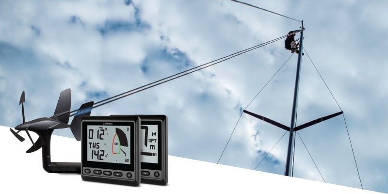
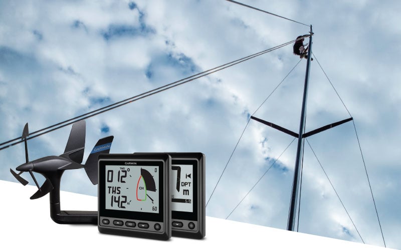
Make confident decisions using GNX™ Wind Instruments.


Find the right setup with our online system builder.




Specs
General |
|
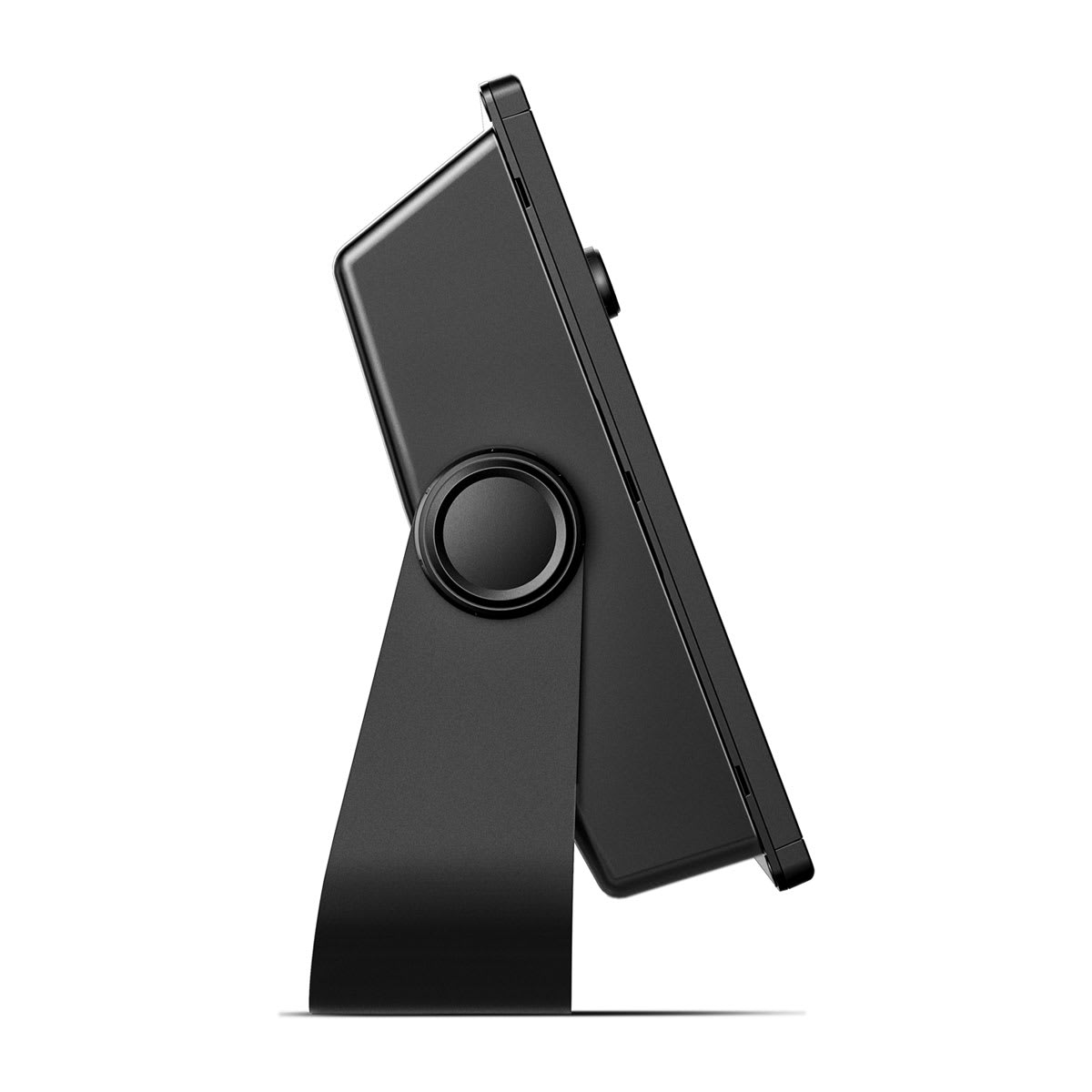
| Dimension | 14.1″ x 8.9″ x 2.7″ (35.8 x 22.6 x 6.9 cm) |
|---|---|
| Weight |
5.2 lbs (2.34 kg) |
| Water rating |
IPX7 |
| Display Type | WSVGA, TN |
| Display Size | 10.3″ x 6.4″; 12.1″ diagonal (26.2 x 16.3 cm; 30.7 cm diagonal) |
| Display resolution | 1280 x 800 pixels |
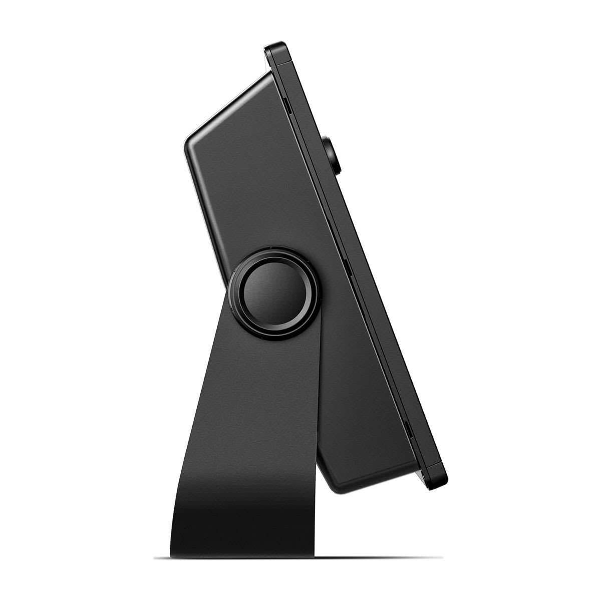
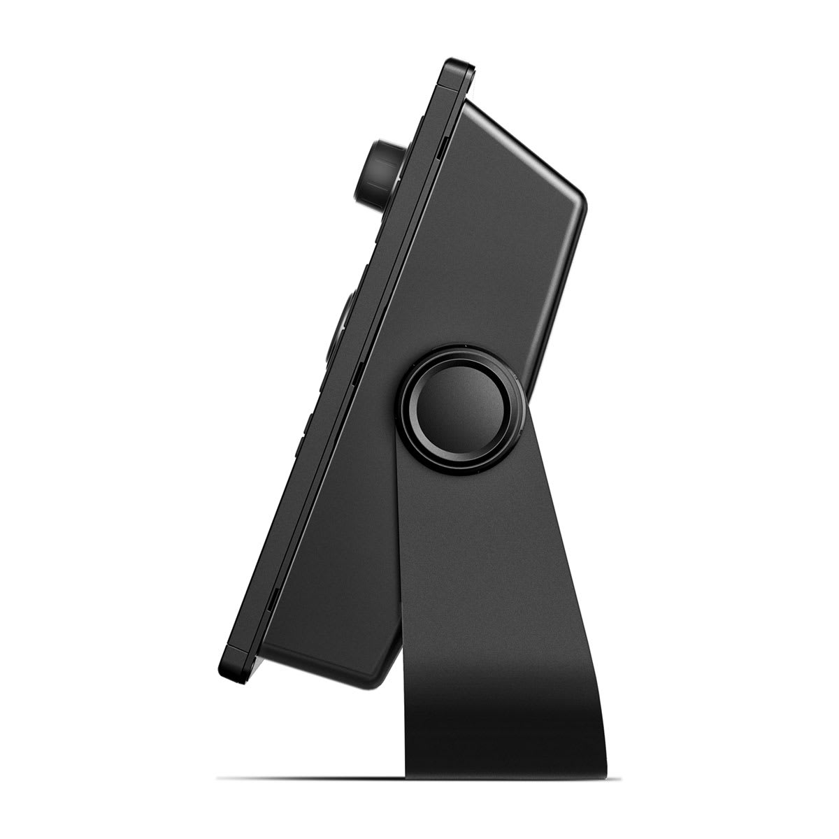
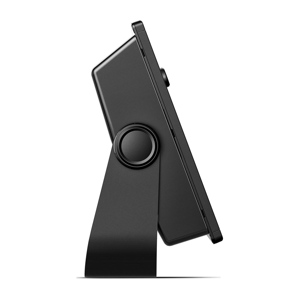
| Mounting Options | Bail or flush |
| Input | Keyed |
Maps & Memory |
|
| Accepts Data Cards | 2 SD™ cards |
|---|---|
| Waypoints |
5000 |
| Track points | 50,000 |
| Tracks | 50 saved tracks |
| Navigation Routes | 100 |
Sensors |
|
| GPS | |
|---|---|
| GLONASS | |
| Has built-in receiver | |
| Receiver |
10 Hz |
| NMEA 2000 Compatible | |
| NMEA 0183 Compatible | |
| Supports WAAS | |
Built-in Maps |
|
| Built-in Auto Guidance+ | |
|---|---|
| Garmin Navionics+ Inland & Coastal | |
| Tide tables | |
Optional Map Support |
|
| Garmin Navionics+™ | |
|---|---|
| Garmin Navionics Vision+™ | |
| TOPO 100K | |
| Standard Mapping | |
| Garmin Quickdraw Contours | |
| Raster chart support | |
Chartplotter Features |
|
| Smart Mode Compatible | |
|---|---|
| AIS | |
| DSC | |
| Supports Fusion-Link™ compatible radios | |
| GSD Black Box Sonar Support | |
| GCV Black Box Sonar Support | |
| ActiveCaptain® compatible |
yes |
| GRID (Garmin Remote Input Device) compatible | |
| Wireless Remote Compatible | |
| Sailing Features | |
Electrical Features |
|
| Power Input | 10 to 32 Vdc |
|---|---|
| Typical current draw at 12 Vdc | 2.2 A |
| Maximum current draw at 12 Vdc | 2.9 A |
| Maximum power usage at 10 Vdc | 34.8W |
Sonar Features |
|
| Displays sonar | |
|---|---|
| Power output | 1 kW |
| Traditional sonar (dual frequency/beam) | built-in (single channel CHIRP, 70/83/200 kHz, L, M, H CHIRP) |
| ClearVü | yes with CHIRP (built-in) |
| SideVü | yes with CHIRP (built-in) |
| Panoptix™ sonar | |
| LiveScope | |
Related products
Shopping Cart
| |||||||||||
Reviews
There are no reviews yet.